Those of you who have followed this blog since its inception – in 2014 – have heard for a long time about the original “S” (there is a later one, associated with M) but the true original is the 2014 S. S reached out to us prior to our trip to climb Mt Elbrus, one of the Seven Summits, before we were even officially introduced to anyone else going on the trip. He’d seen that J’s email address had an .edu extension, and since he himself was a professor of agriculture at University of Alaska, he wanted to see who the heck he was going to be adventuring with in Russia’s Caucasus Mountains.
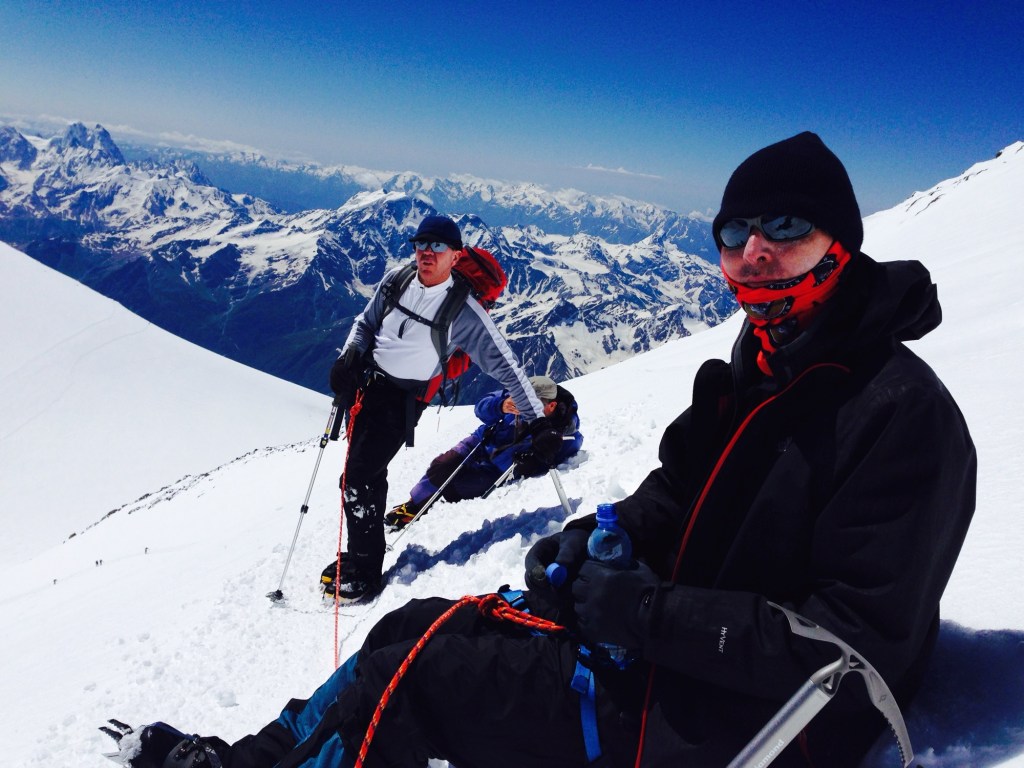
We discovered on that 2014 trip that we’d found a soul mate. J and I had already climbed Kilimanjaro (2011) and hiked Machu Piccu and the Grand Canyon (2013), but Elbrus was our first experience with ropes, crampons, and ice axes. We made tons of rookie mistakes, not the least of which was my failure to use any type of sunscreen on my lips on a bluebird summit day, and instead thinking regular chapstick that I happened to find in my coat pocket would do the trick. The third degree blisters on my mouth were a thing of wonder.

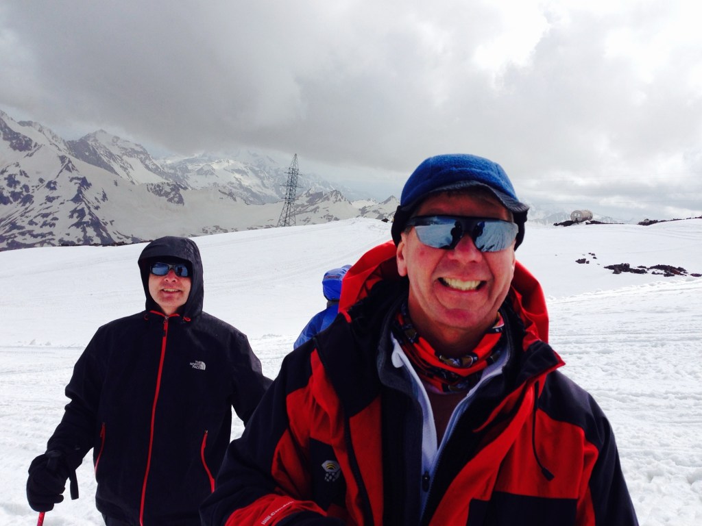
Through it all, S maintained his unfailing sense of humor and a collection of stories to while away the long slogs up various snow fields and saddles, as well as the ability to maneuver the intricacies of Russian air travel when flights are canceled and it appears a semi riot might break out at a regional airport following your third time of having to retrieve duffel bags off the same baggage conveyer belt.
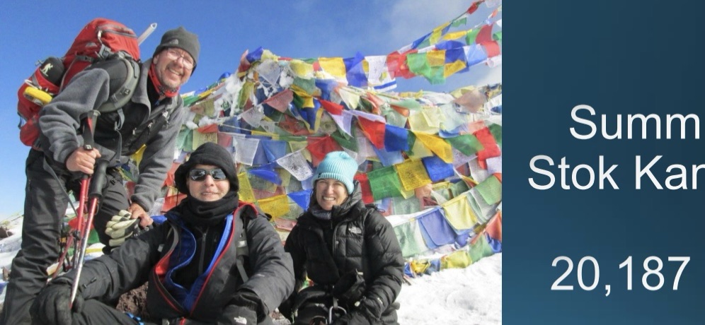
So when we got the idea in 2017 that we really did want to climb an over 20,000 foot mountain the next year, who else would we reach out to but S. Last night I inadvertently discovered a trove of emails back and forth discussing our trip. He explained he’d talked about it with his wife and since his alternative was Everest she was all for the Stok Kangri trip.
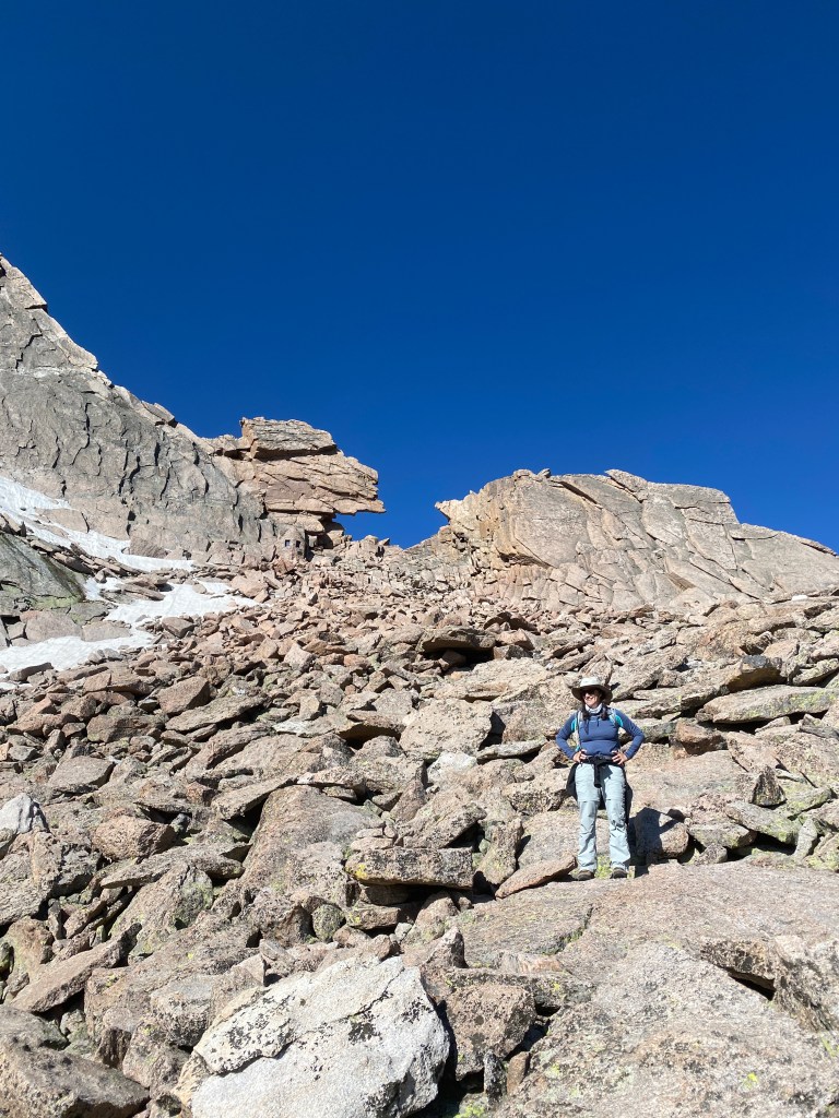
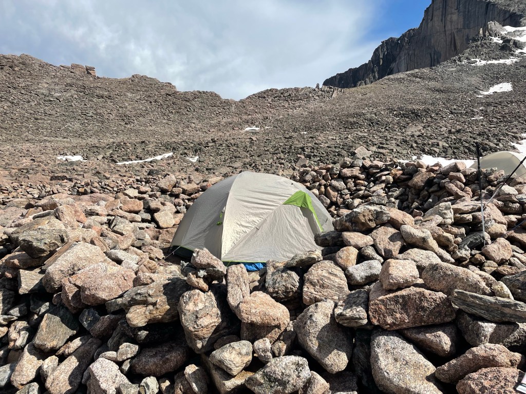
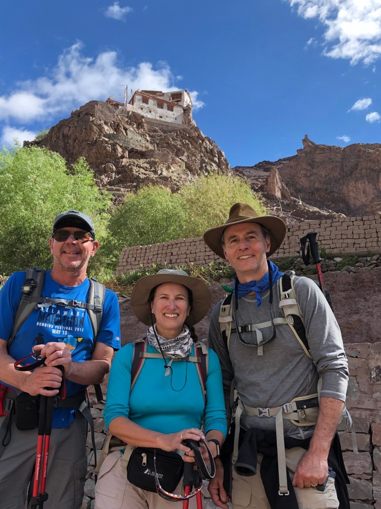
And what a trip it was! A group of 11, only 6 of whom ended up attempting and achieving the summit, some with a lot more grace and speed than others. J and I were definitely ones without the grace or speed, but S was with us all the way to the top.


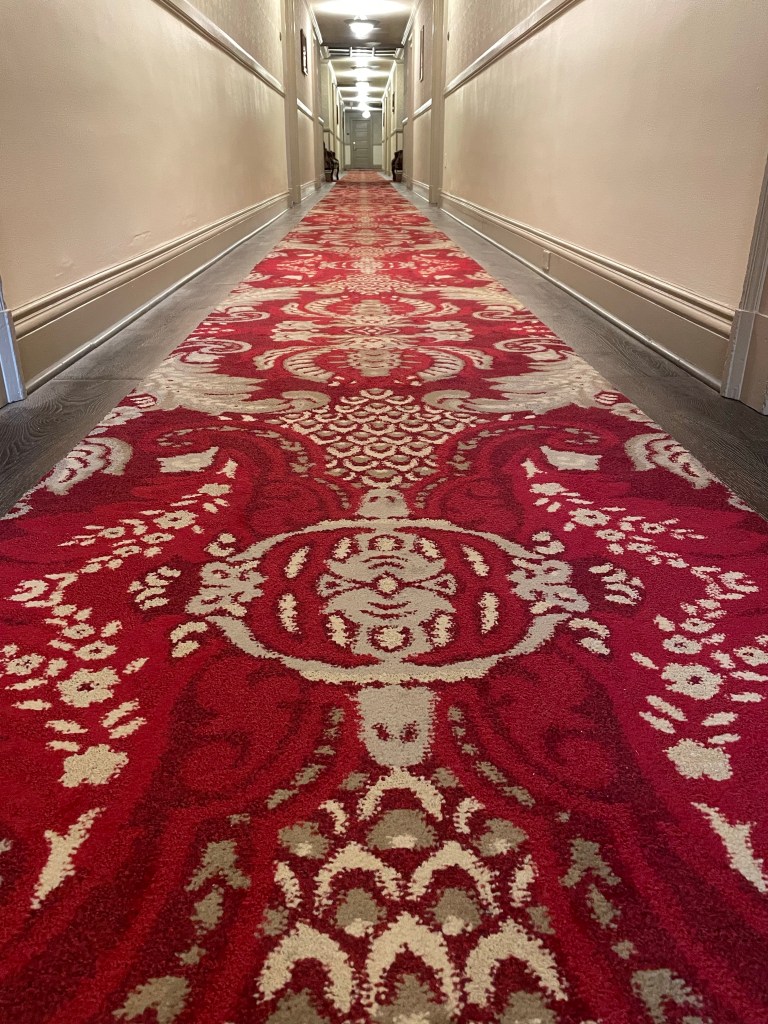
After the trip, the three of us had an extra day to tour the Red Fort, take a rickshaw to a restaurant that had been billed as a place that served the Moghul emperors but seemed to actually be a small place behind a laundromat with a sink to wash hands as you entered, and even managed to find an uber in the cacophony of live chickens, people, ancient architecture and livestock in the middle of Delhi.
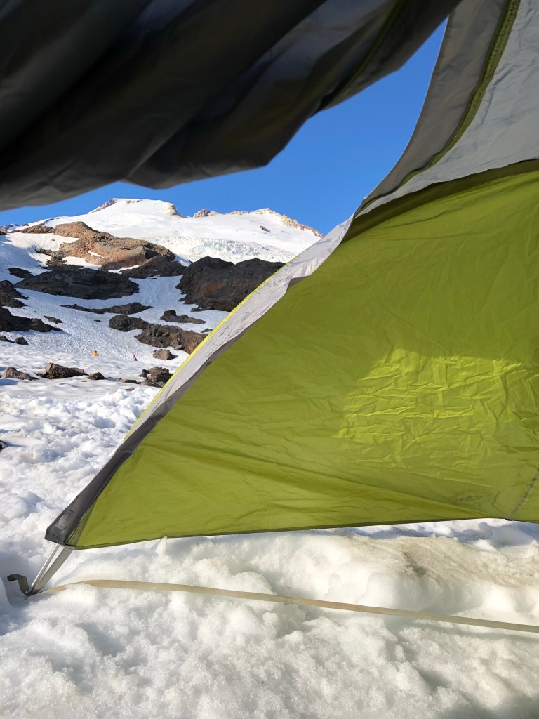
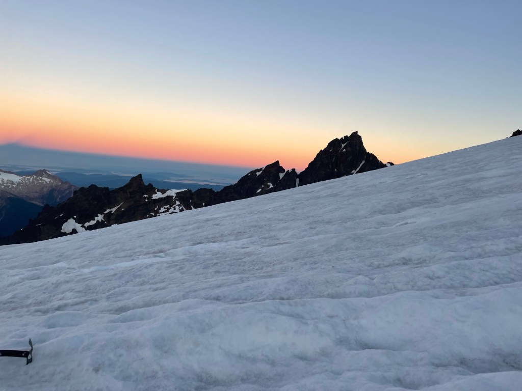
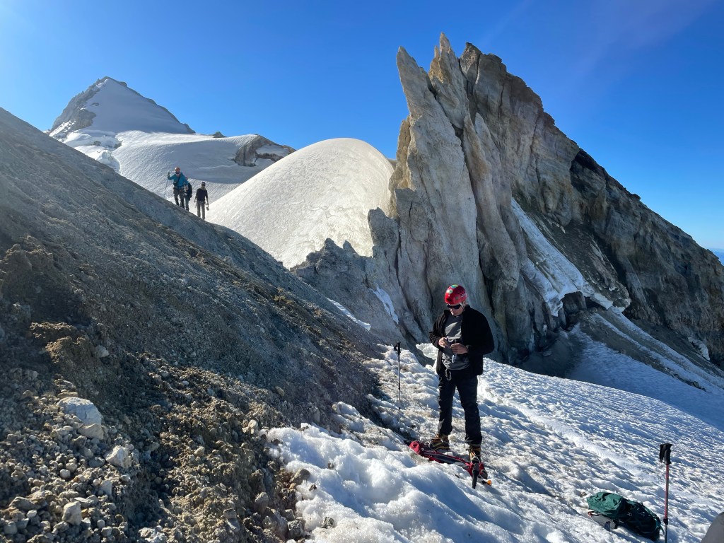
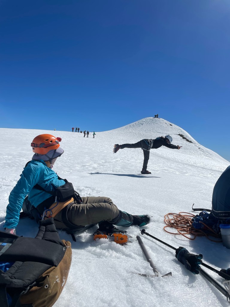
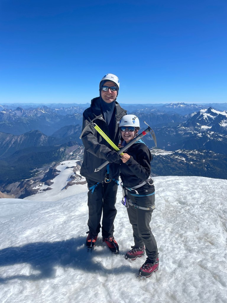
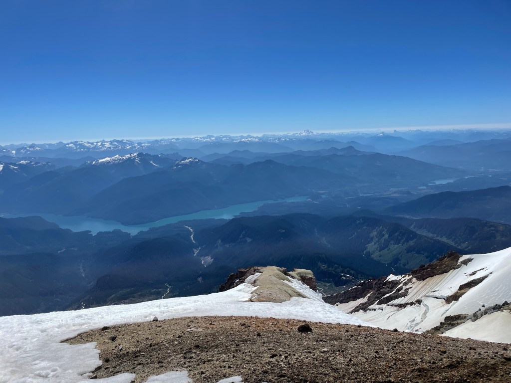
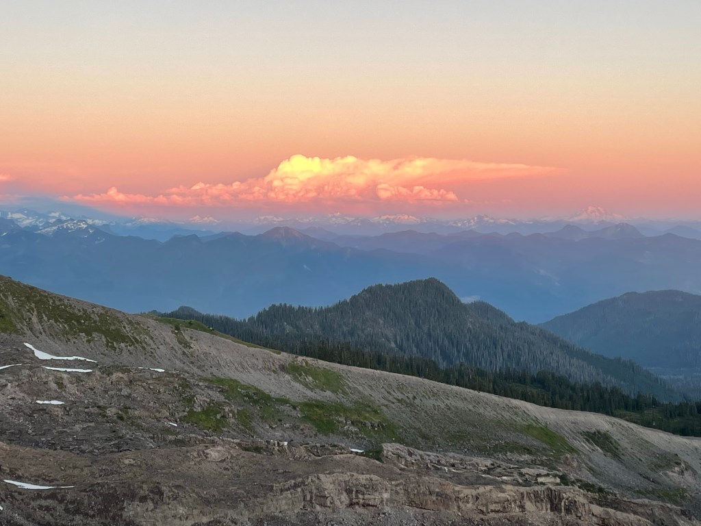
I learned S had passed, at age 61, via a Facebook post last Saturday. The last we’d seen him was on our way to climb Mt. Baker in the Cascades in 2022. That mountain had been on his bucket list. Unfortunately, he had to leave the trip early because a family member had suddenly died and, in typical S fashion, he felt he needed to be with his wife and family. Nonetheless, we carried on and enjoyed spending time with another of his climbing buddies, T, whom he had cajoled into going on the trip.
I was literally just about to reach out to S to see if he had any interest in a potential Mt. Adams climb.
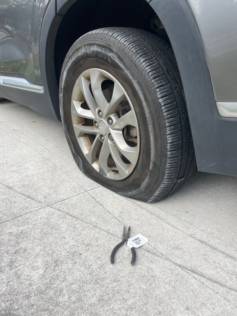
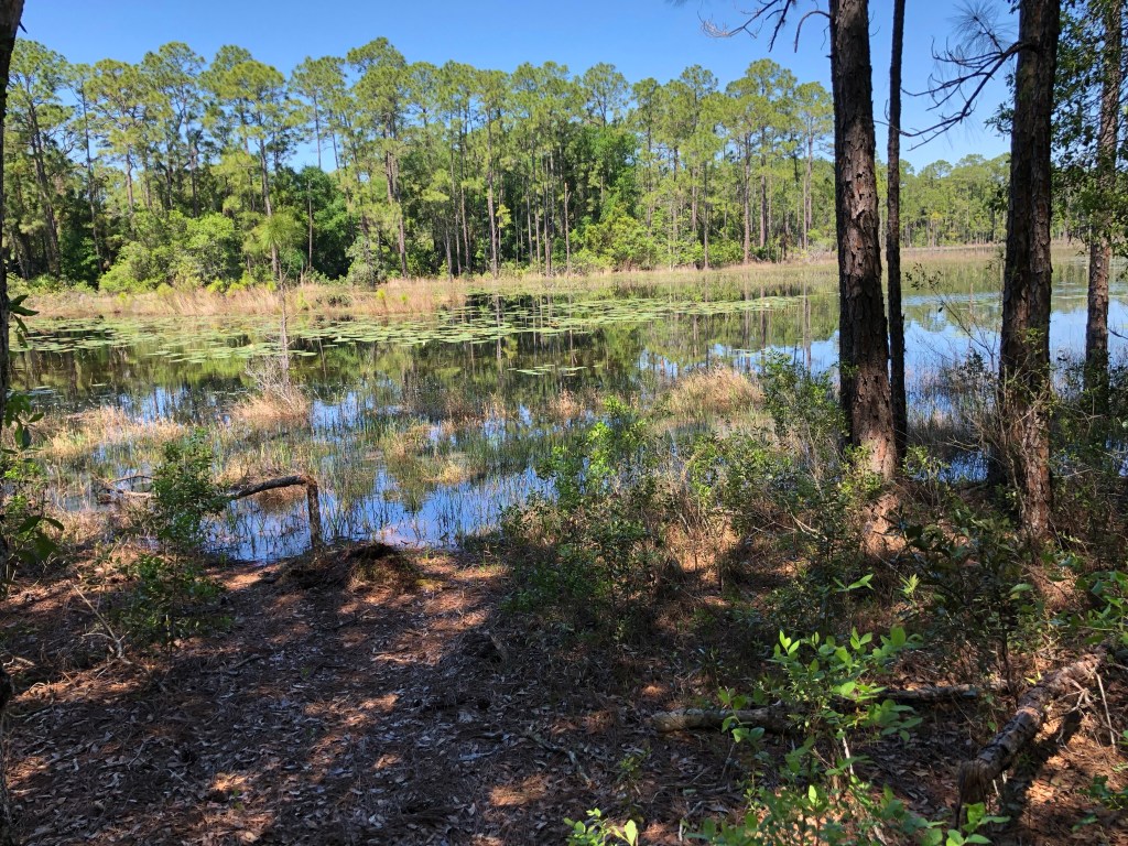
We had planned to go hiking last Saturday at Wekiva Springs with M and the other S. Just as we reached the entrance of the state park, there was a huge rumbling noise and it was clear we had a flat tire. Later we discovered we’d run over a brand new pair of needle nose pliers that still had a label on them. Two hours later, AAA finally showed up, changed the tire in 30 seconds flat, and we had just enough time to get home to make a dinner reservation.
That hiking trip certainly didn’t turn out as expected. And similarly I hadn’t expected to wake up that morning to find out I’d never climb with S again, at least in this life.
I’m not going to say RIP to S. Instead, Godspeed on your next adventure.

For a collection of some of our adventures with S, take a look at the following links. These are only a sampling, and it makes me happy just to read them.
The Descent- Death March on Stok Kangri, India
The Oracle and the Stok Kangri Odyssey
The Adventure of the Red Fort – Another Day in Delhi
Life in the Baksan Valley
Looking Down the Barrel
Steps on the Summit
A Wild Card Day or Summits Don’t End