This post was supposed to be the tale of my 20 mile solo hike last Saturday on the West Orange Trail. But it’s July 4 and instead I thought I’d celebrate by a quick addition to the “lost” series. It’s timely because this hike literally only finished about three hours ago!
Fellow hiker and friend S has apparently developed a new hobby – finding the most unknown hiking trails in Central Florida. Today he thought we should all recognize Independence Day by asserting ours and venturing off into the wilds of Volusia County. He and M and their daughter B, all of whom will be leaving with us in two weeks for our Balkan adventure, insisted we get to their house at the ungodly hour of 8:15 am, to drive to the trailhead as heat was a concern. Boy, was it.
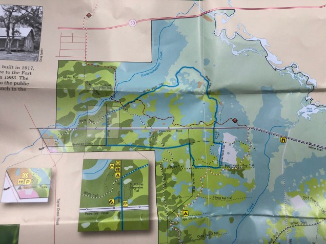
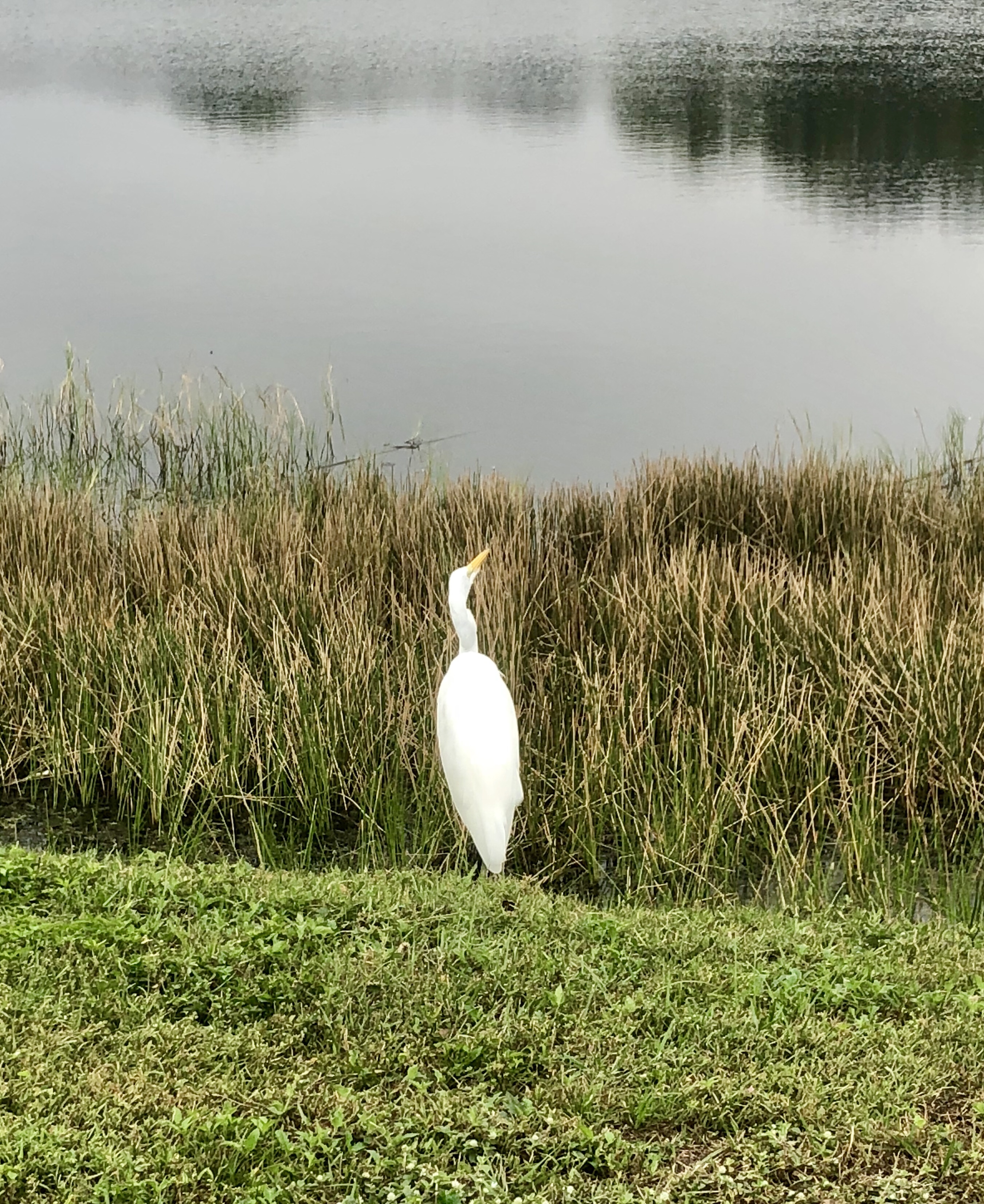
When we arrived at the trail head there were only two other cars in the wide flat meadow. One must have belonged to the two mountain bikers we saw early in the hike – they were the only other humans we saw on the trail. Two people were standing by the other car, neither of whom looked as though they had ability or desire to set off on an 8 mile hike. When we finally finished, ours was the only car in that meadow. The fact the grass was long and hadn’t been mashed down should have given us a clue we weren’t exactly on an Everest like climb. (Note – rather remarkable that Everest has become synonymous with crowded trails.)
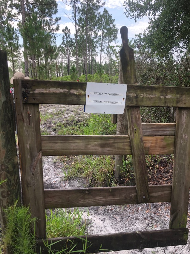
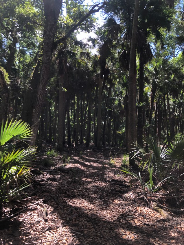
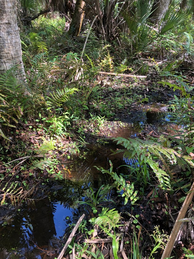
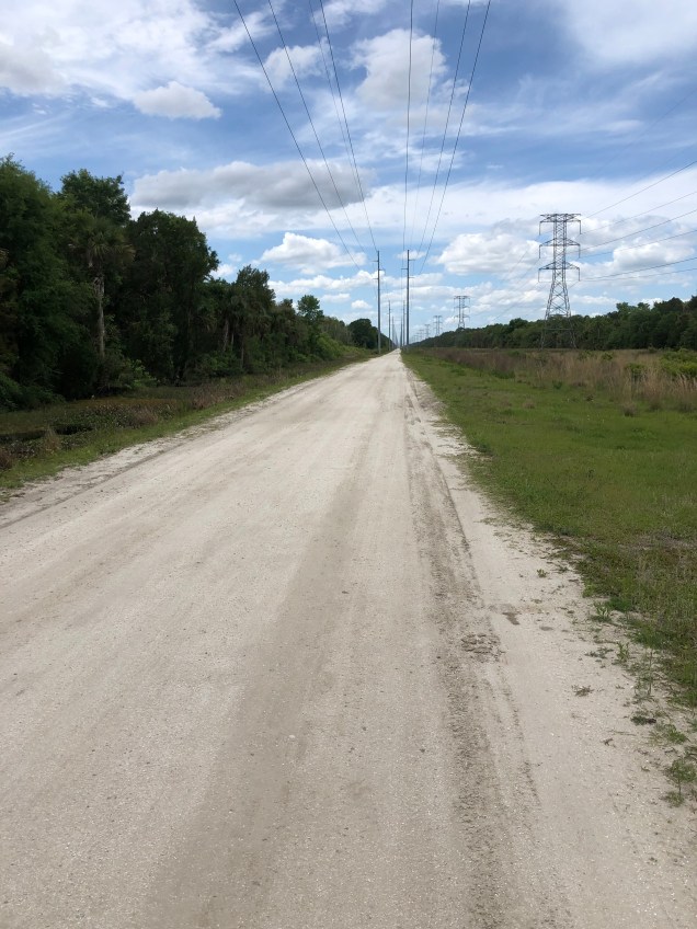
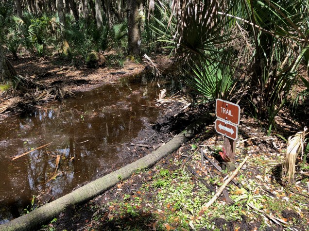
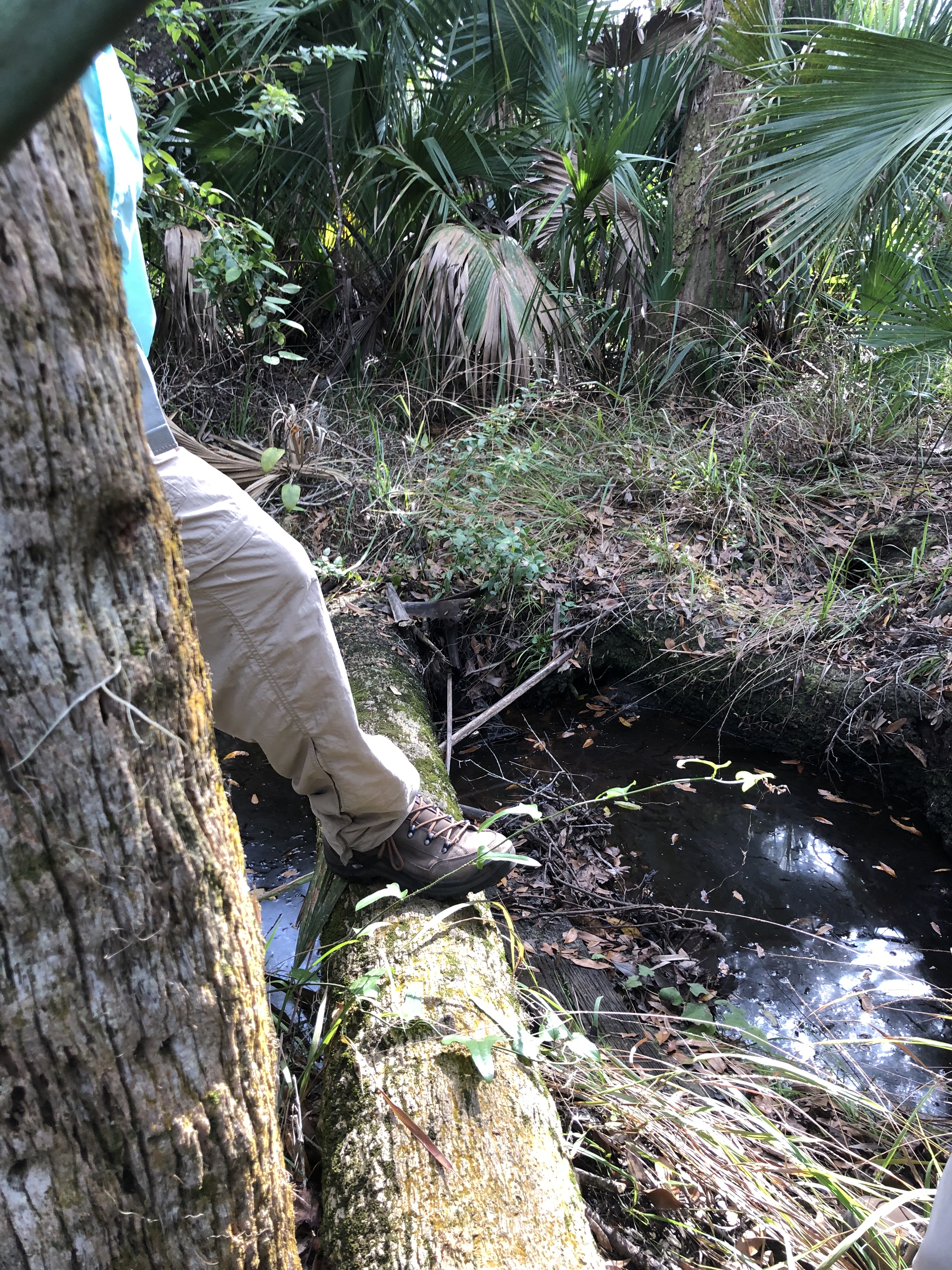
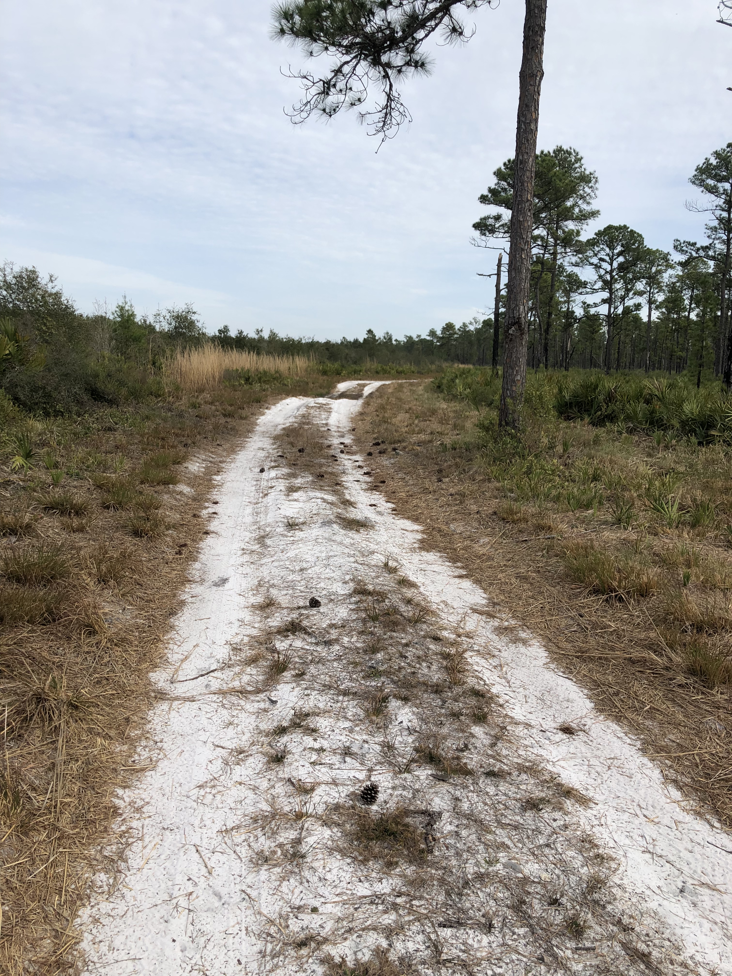
Anyway, the first part was fine. Flat, grassy, and a number of stiles to go through with stringent warnings to shut gates as “cattle were in pasture.” We were basically circumnavigating a broad swath of power lines – I was hoping walking under them might give us a jolt of energy but it didn’t.
Anyway, as we chatted and walked, we found ourselves walking by a farmhouse, together with quite a few cows. We’d been making fun of how many trail blazes there were on what was really a well-marked fire road when we realized we hadn’t seen any of said red blazes for quite a while. M, pointing out she once had been a professional map reader in her brief career as a fire watch, was sure we’d missed a turn. S, equally confident in his navigation skills, felt sure we were going in the right direction. J and I, aware of our directional challenges, mostly stayed quiet. And B pointed out that there was now absolutely no shade, the sun had come out, the heat index was over 100, and it was so humid we were all leaving puddles of sweat behind us.

It turned out all of the above were true. After slogging on another half mile or so we finally re-encountered the trail, apparently having wandered off through someone’s cow pastures and added an extra mile or so to the trek. The universe had not taken kindly to our jokes at the expense of those who had marked the trail so well (but really – every 100 yards or so? And sometimes with poles that looked like flashers?)!
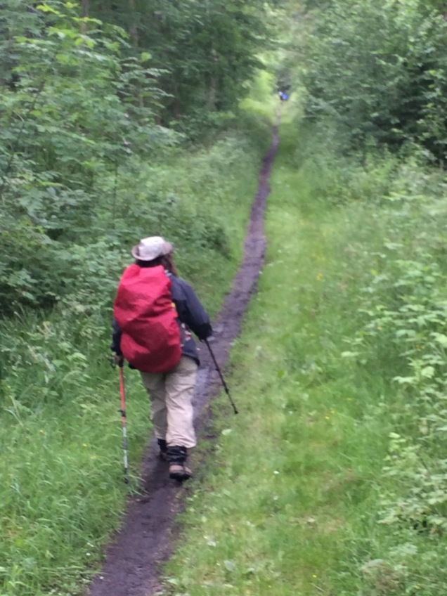
The remainder of the trail was truly brutal. Yes, it was flat, and pines lined each side, but the Florida sun was beating down with its most Florida like intensity.
After close to 4 hours, we reached our car, which was looking very lonely as it sat isolated in the meadow.
Beers and burgers were up next. Fortunately we were seated far away from anyone else in the restaurant which certainly was a blessing to those around us, given our rather fragrant condition. But, the Balkans approach, and I figure if we can get through this swamp we ought to be ready for those summits!