Rooms at the Herriot Guest House were quite small, but that was by far compensated for by their very good breakfast and homemade jams and marmalade. That provided enough to fortify us for a slightly easier – and hopefully drier – day 3 ahead.
The Mac’s Adventure itinerary called for us to be transported by taxi to Keld, which truly is a blip on the map. The taxi took us through the Buttertubs Pass – a location I was last in with my family in 1972 when we lived in England for my father’s sabbatical.
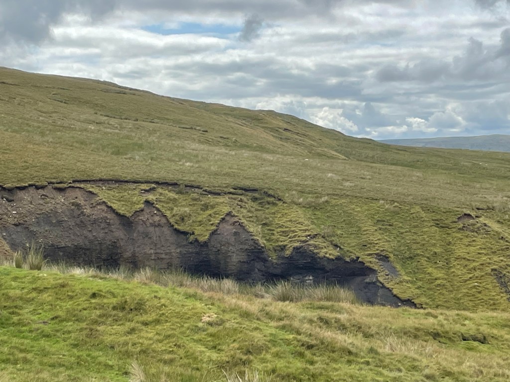
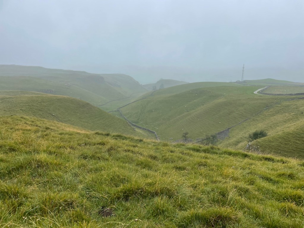
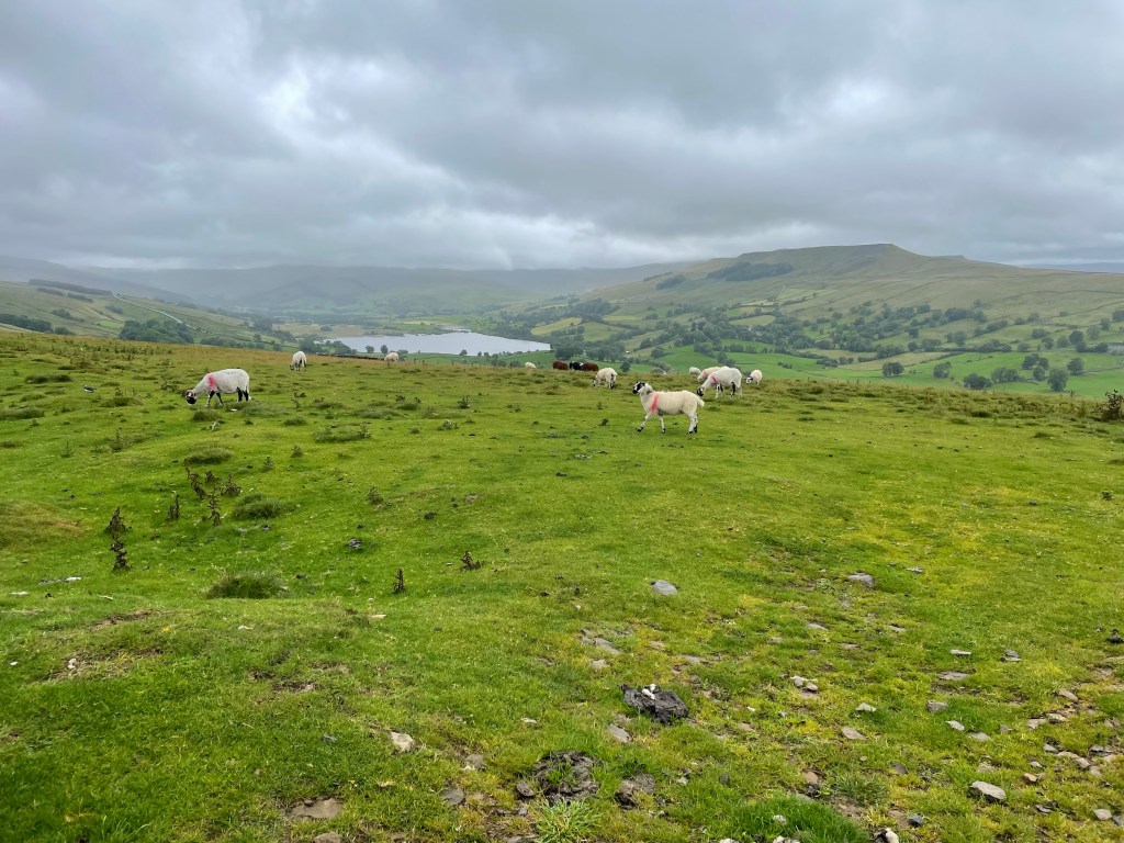
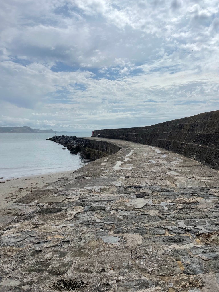
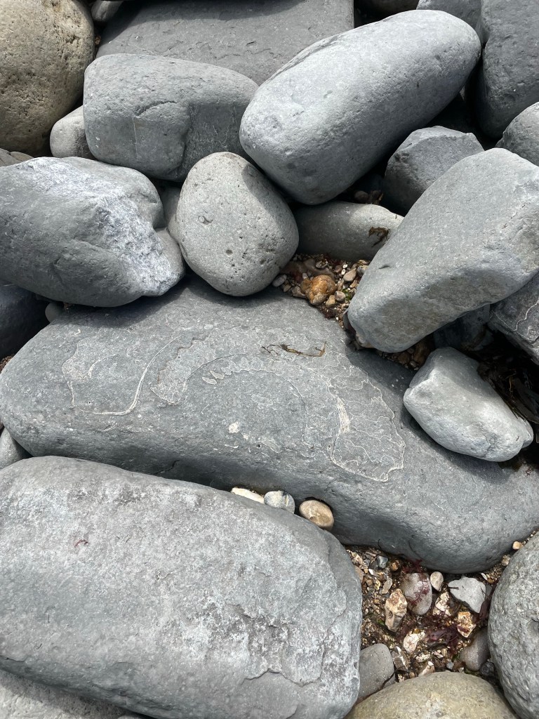
After an early arrival in Keld, we got on the road to walk to the Tan Hill Inn, famous for being the highest pub in England. About a 4.5 mile hike, over lots of moorland and gigantic ravines, where erosion peeled back the top layer of heather to reveal dark soil and rocks. For all of its age, just like the fossilized Jurassic coast in Dorset, this is an ever-changing landscape.

It was rewarding to see the inn suddenly appear in the distance, but the place itself was crowded with day trippers and there was nary a place to sit. Nonetheless, there were picnic tables outside, and we were able to make a nice lunch out of the Double Gloucester cheese and crackers that I had been carrying around since Manchester, alongside the middle aged men’s motorcycle group who were similarly shut out of the pub.

J and I chose to take the longer route back and crossed the valley, which was low and filled with green rushes, over to the next other ridge. The top flattened into a golden prairie-like meadow. We saw at least four or five “bouquets” of pheasants suddenly take off. On the ground they were perfectly camouflaged, soft brown speckles and beige. We would hear five short whistles and suddenly they would take off at top speed, looking for all the world like a group of feather dusters taking flight.

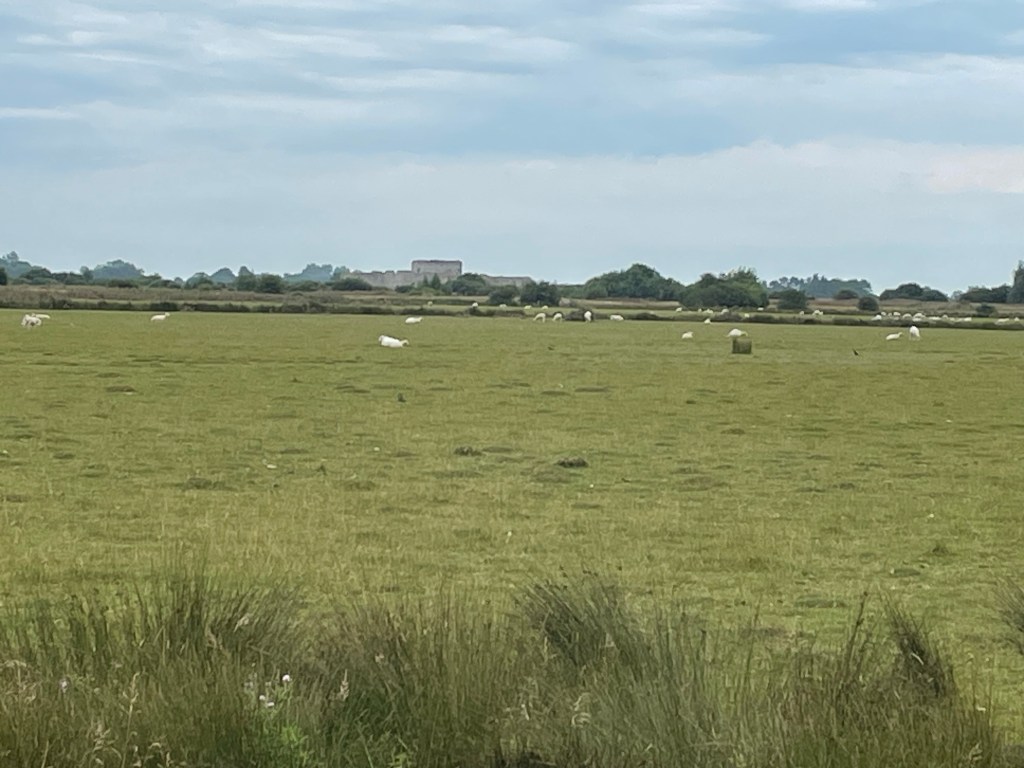
Our path took us by the rather large farming establishment of of the so-called “Yorkshire Shepherdess” of TV fame (although I’d never heard of her). She’s apparently one of those “leave the city behind, become a farmer, and write about it and develop a TV series” people. We did see two men, one on an ATV, which seems to be the farm vehicle of choice here, herd a group of cows into a barn. We had to wait until they were in before we could pass.

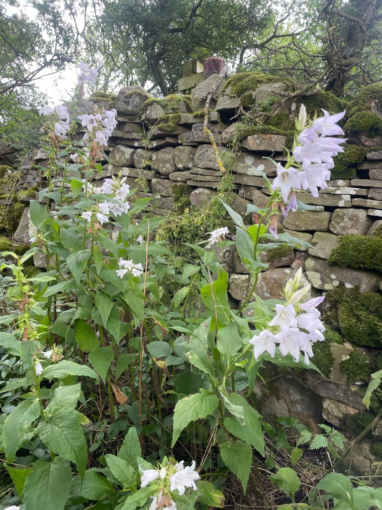
We were almost back in Keld when we managed to make a critical navigation error and ended up going the wrong way toward the small hamlet of West Stonesdale. It’s a true farming community, with working sheep dogs sleeping in their cages, and big agricultural equipment everywhere. Fortunately, I soon realized I was looking at the famous GPS blue line backwards, and we were able to correct our course and make it back to Keld about 5, just as S and M were starting to question where we were.

After an overnight at the Keld Lodge, the next day, Day 4, we were to trek to our next destination of Reeth. We had a choice between the “high” route, which would mostly be on the famous Coast to Coast trail, or the low route, which ran along the river. We fortunately chose the high route – and it did indeed provide some of the best summits and sights of the whole trip.
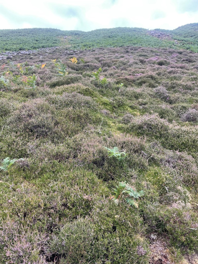
The first part was over moors, which were blanketed in blooming purple and sometimes white heather, waterfalls galore. There were lots of steep sections, including some fun scree fields to scramble through, and I was happy get to use some of my basic mountain skills. They are pretty common sense: always lean into the mountain and your uphill pole.

A steep descent into the valley, and we were in the midst of the ghostly ruins of lead mining works. Lead mining was very big in the Dales back in the 1830s. It’s now just a shadow land, and it’s hard to imagine the hundreds of men that would have lived and commuted to these now remote and desolate areas to work the mines.


It looked like some gravel quarrying still continued and we ascended back up the valley to a moonscape of rock and gravel.

Once we crossed the moonscape, we found a nice spot for lunch, where we chatted with a mother and daughter combo who we had seen in Keld that very morning. They must have been uber athletes based on their speeds up and down.

After about 12 miles or so and a few more ascents and descents – and a lot of what we believe to be grouse – we made it to the pretty town of Reeth. As always that final last mile or so is the hardest.
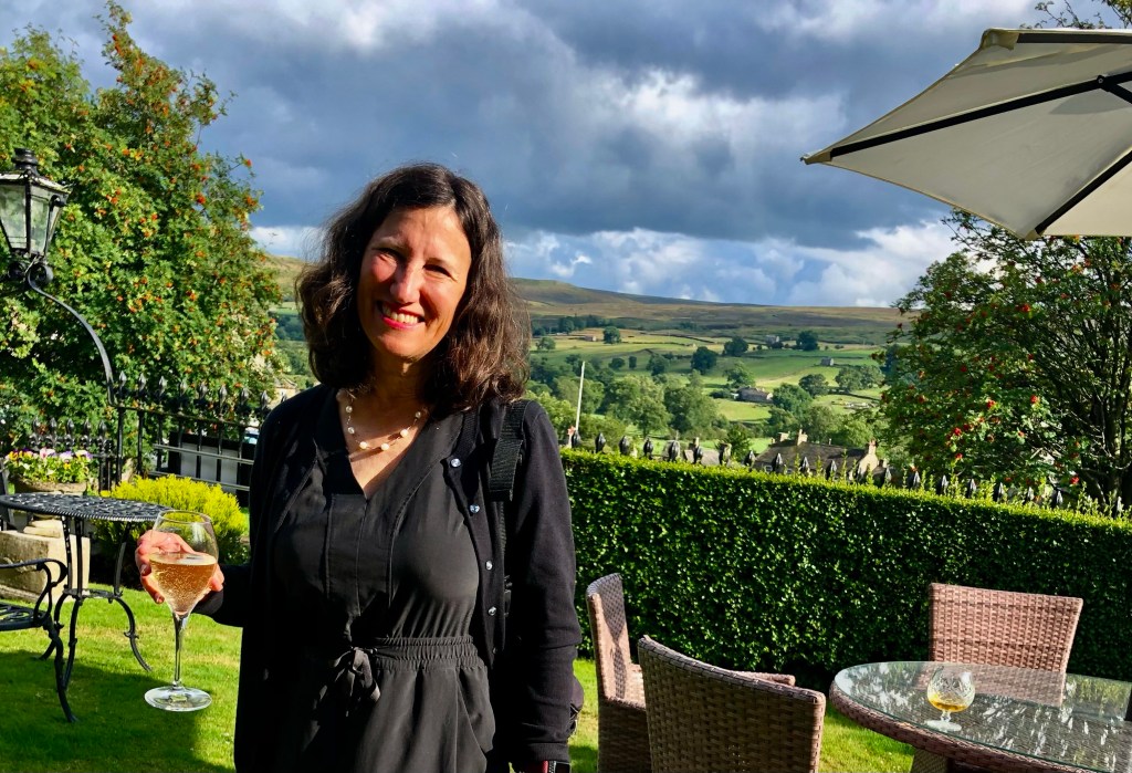
We were staying at the Burgoyne Hotel, which seemed positively opulent after the Herriot Guest House. Nothing like a drink in a front garden after a hard day of hiking.