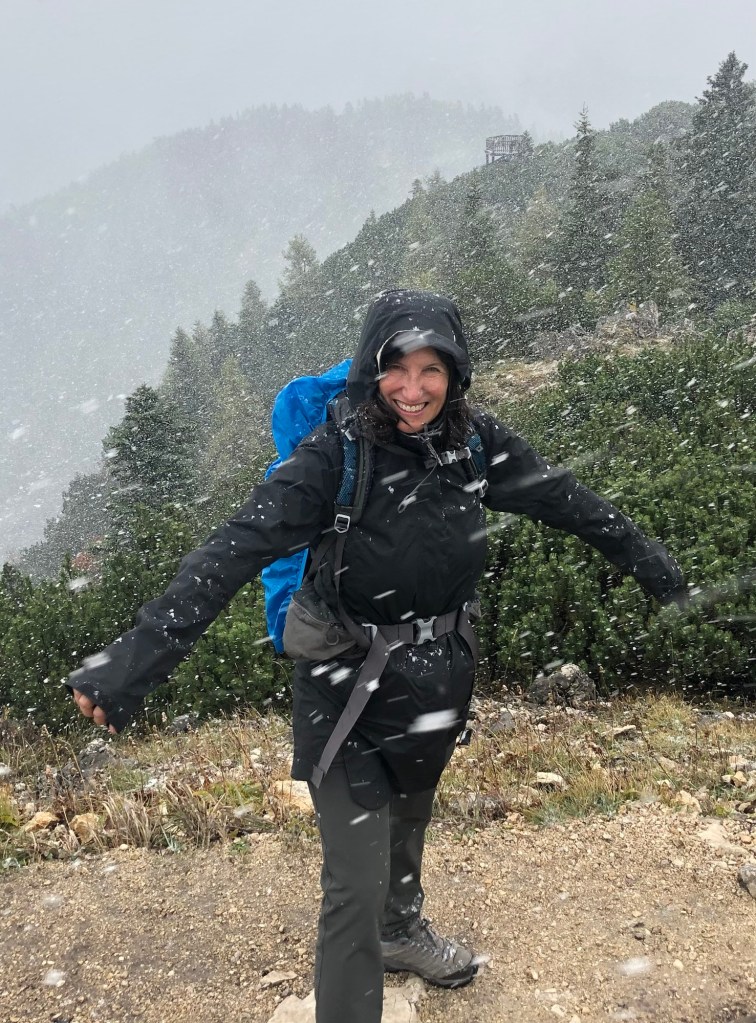
I sum up Vienna versus Paris this way. In Vienna, all the pedestrians dutifully waited at crosswalks for the traffic lights to change, even if there were no cars in sight. In Paris, they didn’t.
It was now October 18, and we were back on Austrian Air, on a flight to Charles de Gaulle Airport. After taking a very local train (RER) from the airport to the city, we found the metro to Saint-Placide metro station. From there, it was a short walk to our AirBnB, in the 6th Arrondisement and right by Le Bon Marche.
It is a lovely neighborhood, with lots of cafes, high end clothing stores, and the like. It was cool and rainy. We did encounter a few issues getting into the apartment, which ranged from where the key was to how to unlock the second of the two front entrances to which of several doors was the actual one to the apartment. We ruled out the one with the barking dog behind it. We finally made it in, only to find the wi-fi advertised on the website was nonexistent. But despite all that, and a shower that tended to flood the bathroom, it was nicely done up inside, and the location made up for everything.

That night we went to Relais d’Entrecote, at the recommendation of T, daughter S’s boyfriend, who is half French and knows Paris well. All they serve is steak frites, and your only choices are the degree of doneness, your wine, and your dessert. Another contrast to Austria, where no one seems to order bottles of wine. You start off with a lovely lettuce and walnut salad, and then, after you finish your first serving of steak (thinly sliced, with a herb sauce) and frites, another is immediately plopped on your plate. We did choose a dessert, ice cream doused with Grand Mariner and whipped cream. It all made up for a cold and rainy walk back to the AirBnB.

The weather the next day was much better than we had feared. After breakfast at Le Bon Marche (where I had the best croissant I have ever eaten), we took a long walk through the Rive Gauche and Latin Quarter (remembering our stay there in 1985), to the under construction Notre Dame, which is still recovering from the fire in 2019. We passed by the Hotel de Ville (City Hall) and through the Marais to the free Musee Carnavalet (History of the City of Paris).

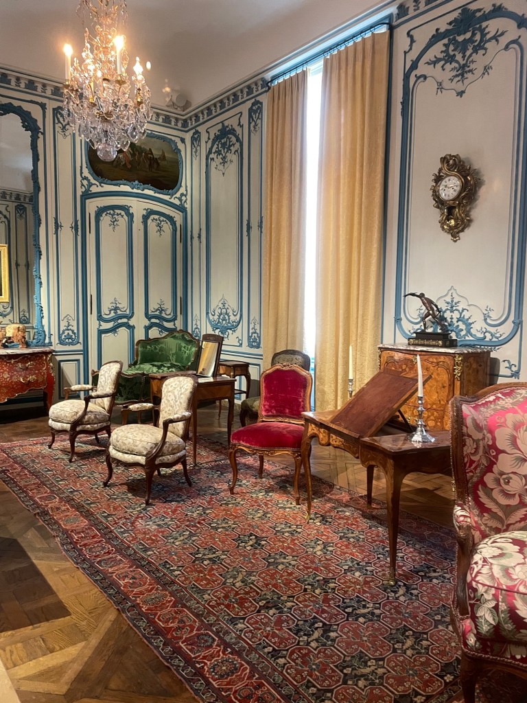
It is a marvelous museum. Housed in two palaces, it spans prehistoric and Roman times (when Paris was Lutetia) to the 19th century. The most amazing part was the recreation of rooms from various houses and hotels. So many of them, faux marble panels, painted walls of still lifes.
Once we were exhausted, we walked across the river and had lunch at a cafe facing Notre Dame from across the river. Police sirens were constant. It turned out there had been a spate of bomb hoaxes causing evacuations of the Louvres, the airport, Versailles, etc.

We walked back to the AirBnb, stopping at the Eglise Saint-Severin and the Bon Marche. After managing to make ourselves somewhat presentable in our by-then rather travel worn clothes, we walked to Le Deux Magots for a pre-dinner drink. It started to rain, but we were under an umbrella, and the weather didn’t daunt us from enjoying the free olives and the live jazz band. Apparently the current owner is trying to make the place less touristy.

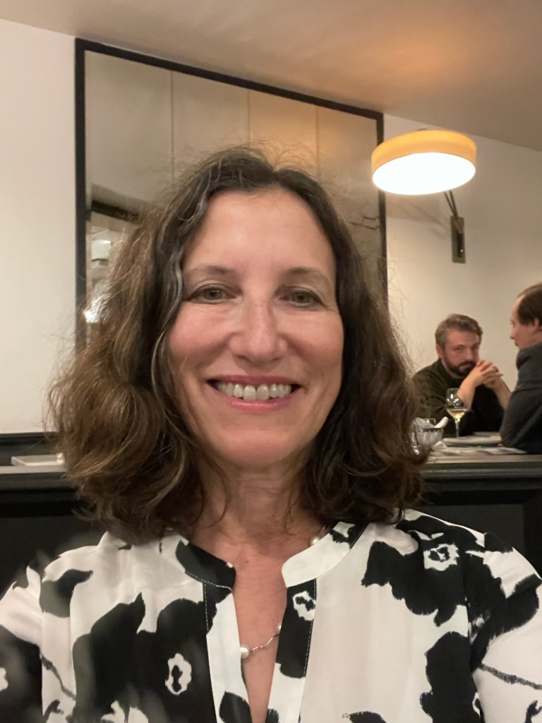
We had dinner at Sevilla, again at T and S’s recommendation. Our reservation was “early” – at 9:30 p.m. – another contrast to Austria where the restaurants were closed by that time! Starters were sea bass, Ceviche, “piglet” and sweet potato main for J, and roast cod for me. Cocktails and wine and dessert. Actually I’m not totally sure what is pictured in the photo below.
It was all quite the splurge.