Apologies to Paul Simon for the title (“never look back, Jack”). I’ve been writing an account of our trip to Iceland in early March – a travelogue of driving adventures, Nordic history, and stunning scenery. But all good sagas need intermissions – a time to break out the mead (or whatever it is the Vikings drank), roast some lamb (or whatever they ate) – and just generally sit around the fire and stare at the sky.
And so it is with my Nordic epic. I started this blog almost a year ago because I thought it would be the simplest way to share our then upcoming trip to Mt. Elbrus in the Caucasus Mountains with everyone who had expressed interest. But I rapidly discovered that I was getting something else out of it entirely – a chance to write outside of the tightly constrained boundaries of legal writing (my profession) and an opportunity to speak in what I like to think of as a more authentic voice.
Yet I can’t escape my Type A tendencies. As I faced writing this weekend about our final days in Iceland, I realized, “I really don’t feel like writing about that now.” And you know what? I don’t have to. I have to fight the impulse to turn everything into a homework assignment for myself, making this blog just one more weekly deadline to add to the numerous and all pervasive deadlines I deal with on a daily basis.
I’m a really disciplined person, in most ways. It’s what has enabled me to climb these mountains even though I started at age 50, and I’m soon to be 54. It takes a lot of will to climb up and down the world’s most boring staircase between two and four times a week almost every week since April 2010. No, I’m not kidding.
But it’s one thing to be disciplined and another thing to let it enslave you. The discipline of making myself write at least once a week here is one thing. But it’s another thing to feel I have got to write Part 4 of Iceland when I don’t feel like it, even when there’s no court or client demanding I do so. And it’s also another thing to feel compelled to publish this on a Sunday simply because I’ve arbitrarily imposed that internal deadline on myself.
So today I’m going to go with the flow. I did do my stairs today (in fact I wore my mountaineering boots and I’m sure I looked even more peculiar than usual), but I’m going to press publish tonight. Even though it’s Friday.
And how about you? How do you keep from turning things that are optional into obligations?
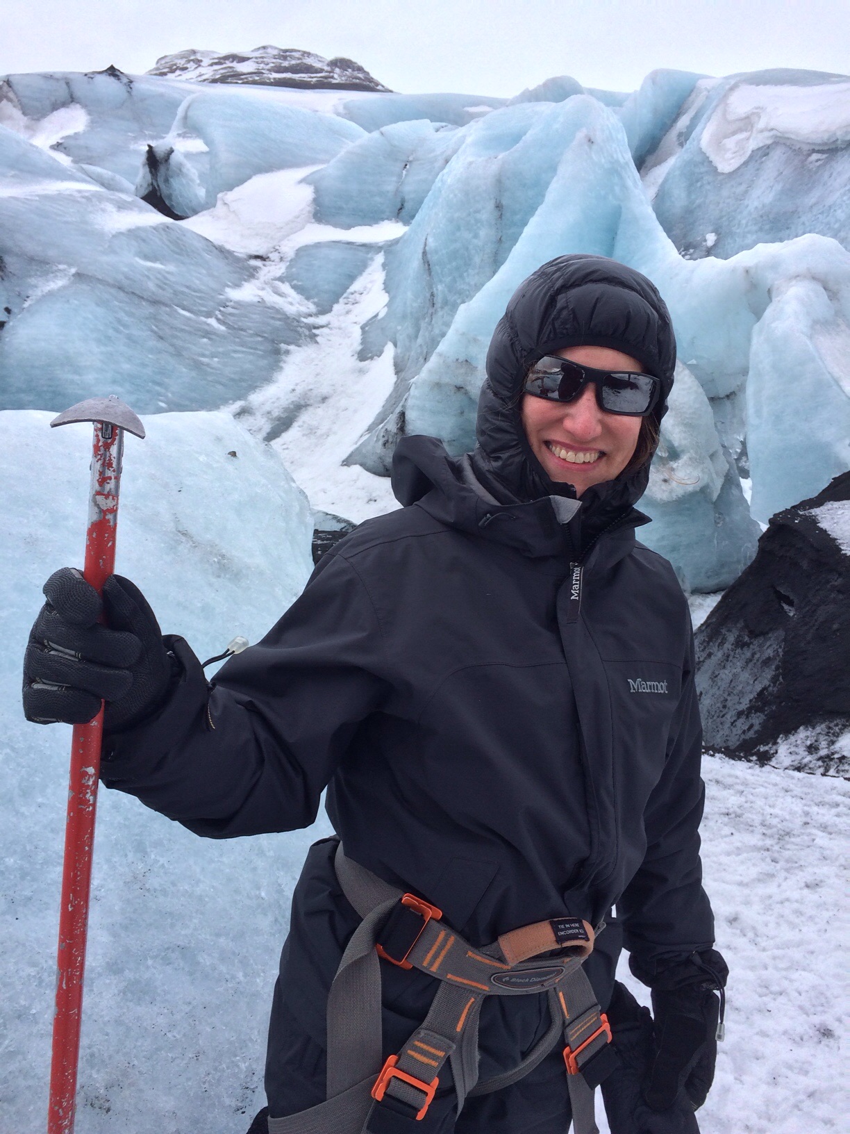
Day 3 of our Travel With Friends Trip was to be the Iceland version of a summit. We had peeled off from the more typical tourist sightseeing regime and made our way to Sólheimajökull, an outlet glacier of Mýrdalsjökull, which is Iceland’s fourth-largest glacier. It offered the opportunity to don crampons and climb on ice for a couple of hours. And at least J and I could regard it as some sort of training for our upcoming trip to Cotopaxi and Chimborazo (only three months from now!). Because of our out of the way location at the Efstidalur Farmhotel, we were a considerable distance away, and had to hit the road bright and early for our 10 am rendezvous with the guide.
The theme of “the weather gets worse” continued. After surviving the narrow snowed over road on which the hotel was located, we ended up on a mountain pass. All we could see was a line of yellow tipped stakes outlining the contours of the road, and it was only on the way back we realized how close we were to the ocean. We finally turned off onto what was described on our map as a 3 km road that could take 20 minutes to travel. It was dirt and lava rocks, pocked with huge ruts. Eventually we reached the end, in howling wind and hail – only to find the long promised cafe where we were to meet the guide was closed and there was no other sign of human existence. In our excitement of getting there and maybe finding a bathroom, we had all jumped out of the car without properly fastening ourselves up against the elements, and accordingly were drenched. There was no bathroom either.
Finally, another car pulled up and out with it our erstwhile guide from Icelandic Mountain Guides. From New Zealand, he bounced between Aconcagua, the Alps, the Cascades – all the best climbing. I’m not quite sure how Iceland fit in, but there he was. He assured us that although conditions were not good now (read “you will be blown off the face of the mountain”), he’d been watching the forecast and the weather should clear by 2 pm.
One of the many churches dotting the Icelandic landscape
So with several hours to kill, we drove back along the rutted road to the village of Vik. Supposedly a quaint fishing village, on that cold icy day all we located was a collection of warehouses and small homes with barely any commercial establishments. We did find one hotel with a cafe and a sign stating it opened at 11. We rang the bell and eventually the owner shuffled down. After I inquired if they were open, he went back upstairs to check with the wife, and following an onslaught of Icelandic argument apparently between the two of them, grudgingly returned and opened the cafe. We ate greasy pizza while another few drenched lost souls staggered in, all of whose plans had also been laid waste by the weather.
Eventually we departed Vik to head back to our long gravel road, but on the way we took a detour to Reynisfjara beach. A black sand beach with tremendous cliffs and rock formations – brutally windy and cold but stark and beautiful. It didn’t require much imagination to visualize Vikings landing there in their long boats. There was a cafe there with a huge glass window overlooking the crashing surf – next time we will know where to go.
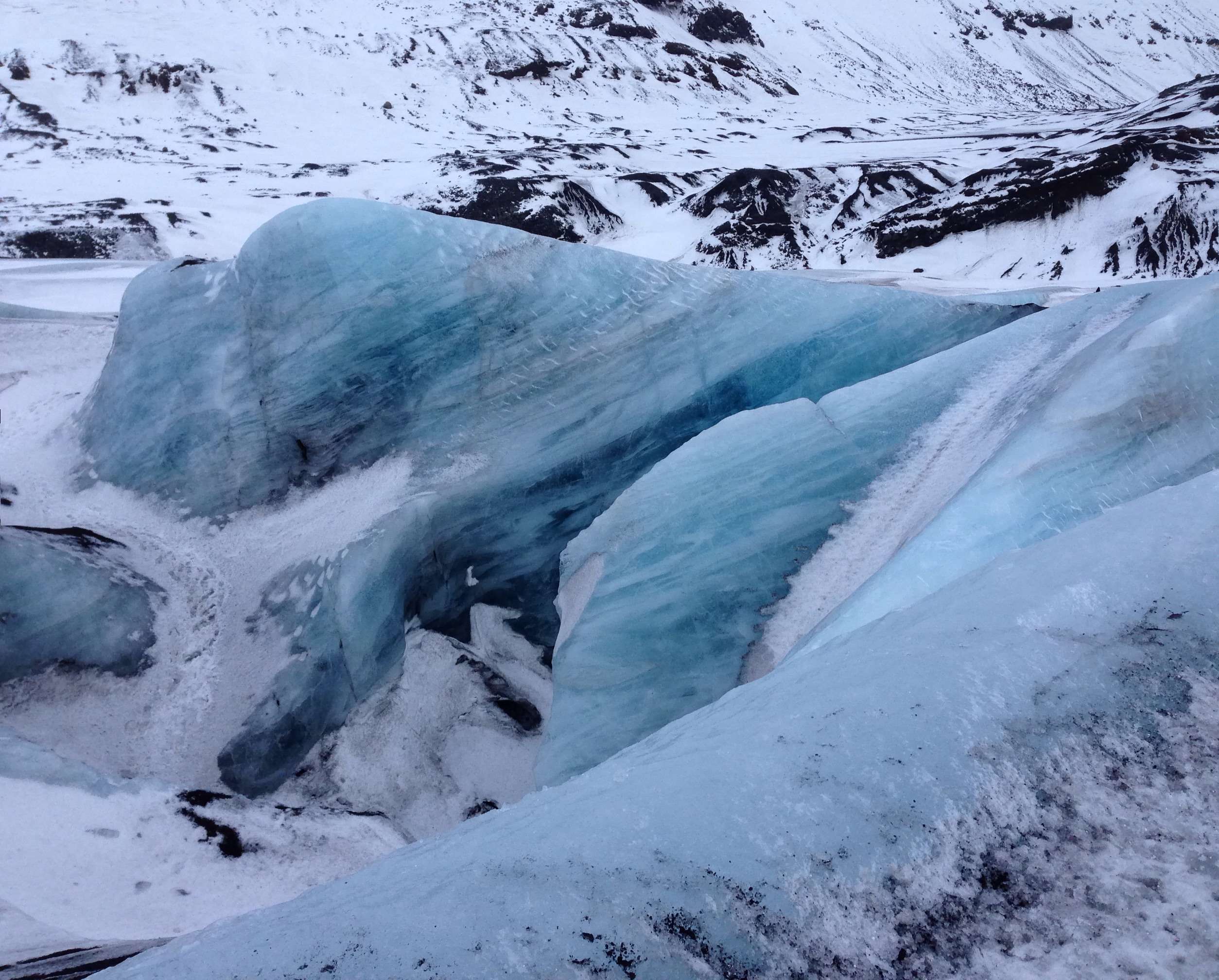
The glacier hike, although not particularly challenging, lived up to our expectations. As you ascend, the ice has become so compacted that in the winter it is a startling shade of clear blue, varying from periwinkle to deep turquoise. It’s set against black lava, some of which is even banded into the ice itself. There’s an ice tunnel just sturdy enough to crawl through – not dark as the light from the tunnel opening is refracted against the clear glass of the surrounding ice. A delicate tall ice arch had formed in one spot – by the time we were descending, it had fallen. Sadly, the glacier, like all glaciers worldwide it seems, is retreating. Where we were standing on rock near the cafe had been glacier just the year before.
It was finally time to bring our day to an end, and we had several hours of snowy driving to get back to our hotel. We had one more day left, and it was time to make plans.
Sitting at the airport about to return from solid white out in Iceland to sunshine in Florida – much more to come in succeeding posts when I’m not about to catch a plane. Iceland: Glaciers to windswept sea to white on white against grey skies, and blue ice pitched against black lava. In the meantime, a quick photo:
Saturday presented with a solid drizzle of rain from dawn to dusk and thereafter. What better occasion than to try out some new gear to check how waterproof it really was.
Husband J and I decided a few more miles on the West Orange Trail would be an appropriate testing ground. But this time, instead of starting in charming Winter Garden, we decided to begin our hike 22 miles away at the other end of the trail, just outside of Apopka. We have a goal of ultimately walking the whole thing in one fell swoop, but before we do so we thought we should have walked all its pieces.
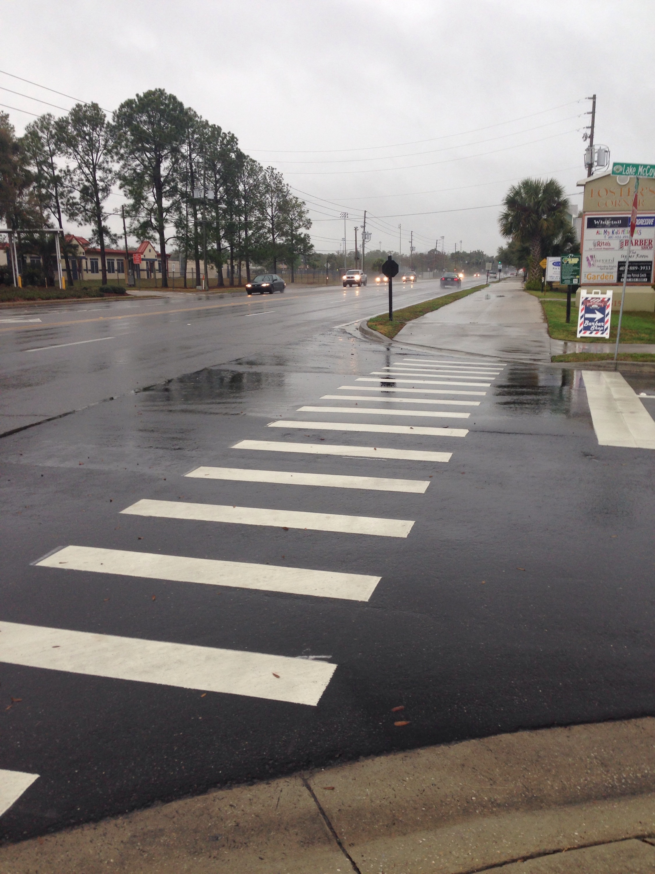
The trailhead on the eastern end is nothing short of unimpressive. Literally nothing but a small sign marks the trail, which runs along a busy commuter road, and it’s hard to tell where the regular sidewalk ends and the trail begins. It’s equally mysterious why that particular point was selected – there’s certainly no distinguishing characteristic. There are a couple of strip malls, populated by places like “Beef O’Brady’s,” Pizza Hut, a grocery store and the inevitable 7-11. And no parking – except for the strip malls.
After a couple of miles of cars whizzing past, we were glad to turn down a side street where the trail finally diverged from the roads. It wound back behind several schools in a wide concrete band, at one point on a well-built boardwalk that meanders past a deep gully, unusual for Florida. There were some houses tucked behind it and I couldn’t help but wonder what the bear population was. For those of you not from Florida, black bears have developed their own suburbs in all of Orlando’s outlying areas. As the boardwalk ended, we passed a huge Seventh Day Adventist church and several expanses of open land. It was not clear if they are parks, grounds of commercial establishments, or simply placeholders waiting for development. And there is some topography- there is at least one real hill and by the end of he trail, my Map Your Walk said we’d gained a whopping 65 feet.
The trail finally reaches the town of Apopka itself. A pedestrian bridge, shown in the top photo, crosses Main Street. There’s a restaurant called the Catfish House right by the bridge – which looks as though it would be an appropriate place for celebration when we finally do the entire trail. And it looks a lot more interesting than the Duncan Donuts, which appears to be the other food choice.
Next West Orange Trail hike – well, we still have about 12 or so miles before we’ve walked all of its bits and pieces. I’m hoping for a little less 4 wheeled traffic on the next part. As for the gear – it worked admirably. Patagonia Alpine climbing guide pants repelled water just as advertised and my new hiking boots – yes, after five years I have a new pair of Renegades by Lowa – continue to get broken in. And just as well – because the weather reports for Iceland – where I will report from next week – indicate snow every day!
So I did it. Last week, on Tuesday to be precise. I emailed Mountain Madness, our trekking company, and just said yes to the Chimborazo extension. Now I recognize that some of you were pushing for the Galopagos Islands, but I simply couldn’t escape the fact that there will be no other point at which husband J and I stand a better chance of actually climbing a 20,000 foot mountain. I think I can manage the Galopagos in future years.
As I continue the grueling process of forcing myself to run at ever faster paces and climb stairs with increasing amounts of weight – and of finding the time to do so – it occurs to me that I have not really described the two mountains that are engendering such passion (or foolhardiness). I’ve referred to them by name, but without much explanation.
Here’s what is inspiring me.
Both mountains are part of Ecuador’s Avenue of Volcanoes, named by 19th century German scientist Alexander Van Humboldt. Due to a location just above and below the equator, the scenery is supposed to be reminiscent of the Scottish highlands or the Arctic tundra, at least according to our trekking company. Both were first summited (at least by westerners) in 1882 by Edward Whymper, for whom some of the passes are named.
Cotopaxi last erupted in 1940 and some consider it the world’s highest active volcano. It stands at 19,347 feet (5897 meters) and is located near Quito, which at 9400 feet is itself one of the world’s highest cities. Cotopaxi has been worshipped as a sacred mountain, a bringer of rain and fertility.
We will acclimatize for the altitude first with a climb up Guagua Pichincha (just outside Quito, standing at 15,696 feet, last eruption 2004) and then what is described as an “enjoyable rock scramble” up Illiniza Norte (16,818 feet), with trekking, camping and stays at haciendas in between. Mules are supposed to help at certain points as we travel between and up the various mountains. Once we are at Cotopaxi, summit day (summit night is a more accurate description) begins at 15,749 feet, where we will have been staying at the Jose Ribas Hut. The glacier starts at about 17,000 feet, and according to Mountain Madness, we will be crossing snow bridges, avoiding large crevasses, and climbing “short, steep sections.” Once at the summit of Cotopaxi, we should be able to peer into a perfectly round caldera, the origin of the steam you apparently can sometimes see boiling up.
I have found a lot less written about Chimborazo. It is famous for being the point closest to the sun, due to the bulge of the earth at the equator. As I mentioned before, I hope our attempt to climb it is not too Icarus like. It is currently inactive, with a last eruption in 550 A.D. or so. It reaches a whopping 20,564 feet (6268 meters) and is the highest mountain in Ecuador. Chimborazo can sometimes be in very bad condition – with unstable snow, big crevasses and high risk of rock fall. The itinerary states that if Chimborazo is not climable, we are to attempt Antisana. It’s only 18,714 feet high, but from what I’ve read is even more technically challenging, as it is completely covered by glaciers, and is not climbed very frequently.
Despite all this, you may still be left wondering – but “why?” Well, a summit goal, for me at least, gives me something to focus on, look forward to, and lifts me out of the drab tension of the day to day working world. And the other reason is simply a variation of the “because it’s there” phrase – because there is something about standing on a summit that gives a high that doesn’t come from anything else.
Training has to be in earnest now. The long Martin Luther King weekend provided the impetus for our first hike with weight since – oh, probably when we were training for Elbrus last year. But with Cotopaxi and still maybe Chimborazo looming a mere six months away, it’s time to ramp up.
Orlando has been working on its urban and semi-urban trails for a number of years, and the West Orange Trail was one of the first. It stretches 22 miles from Killarney to Apopka, running mostly along abandoned railroad tracks. It passes through suburbia, a high end residential enclave, abandoned orange groves, and, every now and then, glimpses of the pine forests and palm hammocks that graced the state before development threatened to turn it into one giant subdivision.
Husband J and I had hiked the segment from Killarney to Winter Garden last year, so we were already familiar with the classic car show that takes place in Winter Garden on Saturdays. People from all walks of life sit on lawn chairs with everything from Model Ts to 1967 Mercury Cougars on display. Somehow I don’t think my 10 year old Sebring convertible would have qualified.
So this time we decided to load up the backpacks with about 25 pounds and walk the next segment, from Winter Garden to about three miles beyond the Chapin Station by Chapin Park, for a nine mile round trip. Before Ecuador this summer we are going to try to walk the whole length in one day. Hey, if the Romans could march over 20 miles every day, why can’t we?
Not really a walk on the wild side
The first part of the trail cuts through several housing developments. One of the most striking features is the lengths and lengths of white vinyl fences that line the trail. The fences finally stop and you’re treated to a view of backyard after backyard – all of which blend into one another with barely any delineation. Talk about peer pressure to mow your lawn! Notably, I saw not one soul sitting outside on any of these neatly manicured grass strips, even on a beautiful Saturday afternoon. Finally, housing developments give way to abandoned orange groves. As we passed the one with the cement plant rising up out of the middle (see photo above), we heard what at first sounded like a loud rant of some hellfire and brimstone preacher. But as we got closer, in the distance we could just hear an amplified broadcast of MLK’s I Have a Dream speech. Somehow very fitting for the weekend, the trail and our training.
West Orange Trail – J’s trademark shadow in the corner
The next segment did move into something approaching nature, although the sound of the highways nearby was never too far away. A hawk almost strafed our heads as we paused on the bridge shown above, and then settled into the trees, its plump belly blending into the mottled deep green black leaves. We passed by a specialty crop garden tended by a local high school, as well as what looked like an uninhabited barnyard with a big sign saying sustainable farming. And at one point, from a warehouse al out hidden by the trees, we could hear the throbbing bass of a rock band practicing. On the way back, it seemed to have transformed into something that sounded like a mariachi band. Same band? Or rented space?
The West Orange Trail even has a few hills – at least by Florida standards. I just kept thinking to myself, “imagine it’s 10 degrees farenheit, it’s a 35 degree slope, and you are at 18,000 feet.” You’ve got to have some imagination to train in Florida.
There’s a hawk somewhere in there – use your imagination!
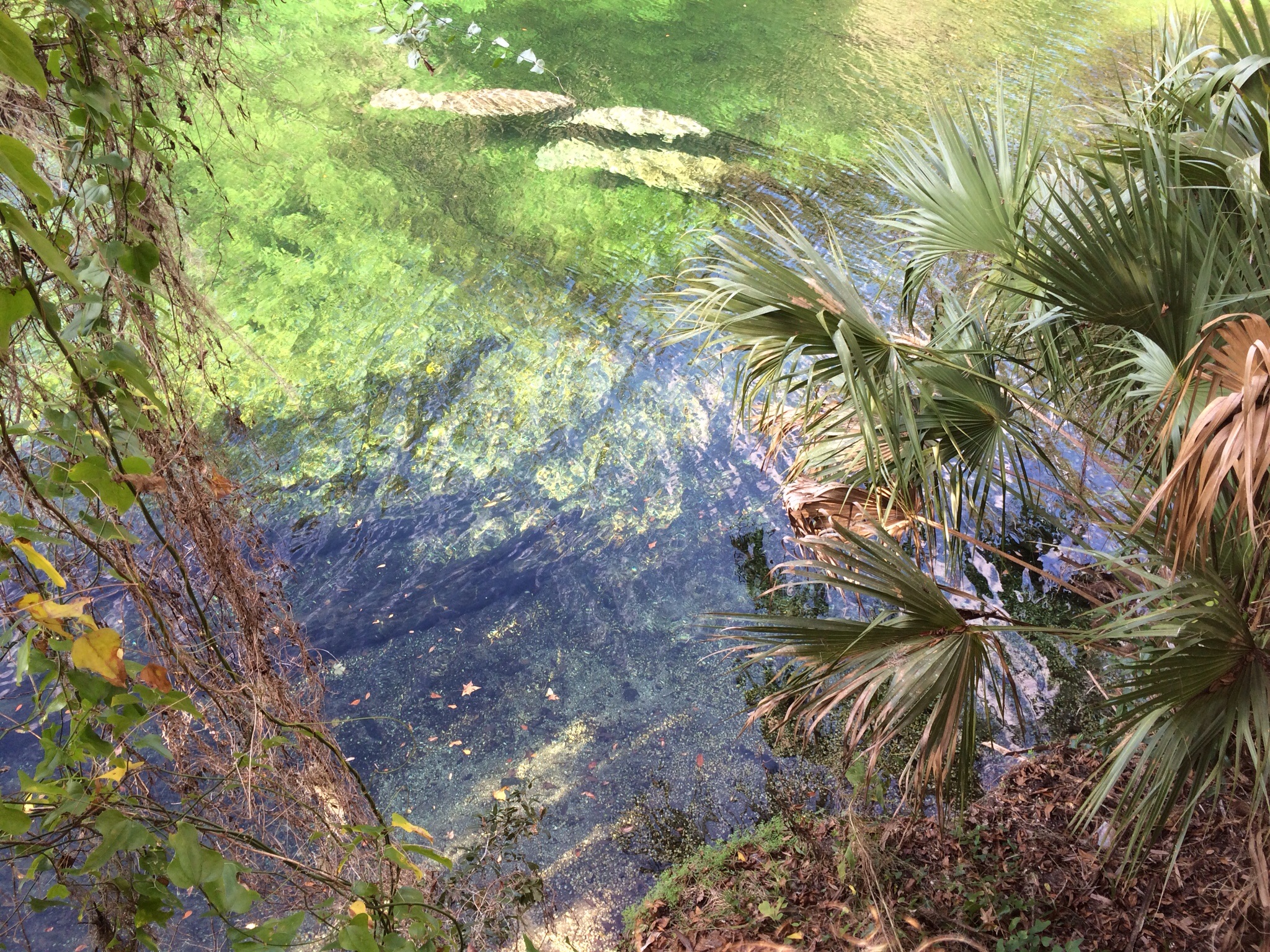
Manatees in the emerald waters of Blue Springs State Park
We celebrated the day before New Year’s Eve with a very tame hike along the boardwalk at Blue Springs State Park to see the manatees. Just daughter #1, her boyfriend, the husband and me. Oh, and in celebration of 2015 and six months of writing this blog, I’ve decided the husband can now have – if not a name – at least an initial. Perhaps a little Kafkaesque, but “J” does have a certain ring to it. Perhaps the daughters will obtain their own initials at some point.
I’d like to say that Blue Springs is a hidden treasure – but it has clearly been discovered, as demonstrated by the hordes of eager manatee watchers who were out in force on an overly hot winter’s day. Blue Springs has always been “discovered”: it has been a tourist spot – or at least, a layover – since the pre-train days of 19th century Central Florida. The house of the original settlers still stands – a couple from Brooklyn, New York, who migrated to Florida to establish what became a steamboat stop on the St. John’s River in the 1870s or so. As steamboats gave way to trains, the place evolved into a weekend resort for hunters and fishers. The tourism that seems so out of place in the apparent wilderness is actually an authentic part of Blue Springs.
Blue Springs is also tremendously accessible to anyone with any physical challenges. A smooth boardwalk runs the length of the river, which not only helps walkers who need some assistance but also protects the plant life. The place itself is one of the most beautiful in Central Florida. The spring – one of the largest in North America – pumps out water from the Florida aquifer at a staggering 100,000,000 gallons per day. The water is a brilliant clear emerald color, and through it you can see long nosed gar wending their way down the river, as well as the large cow-like blobs that are the manatees themselves. Legend has it that manatees were the original mermaids, but it would take many days at sea for one of them to resemble Ariel!
One of my favorite parts of Blue Springs is the fact that somewhere hundreds of feet down the spring connects to the limestone caves that permeate Florida’s substructure. As I understand it, many of these underwater caves are unexplored (and probably can’t be explored). Frankly, as much as I can imagine scaling summits of mountains, the idea of going underwater into a subterranean cave is unfathomable. But just knowing of the existence of those deep dark places – who knows, perhaps inhabited by goblins mining for the fairy queen’s jewels – adds an appropriate level of mystery for this New Year’s Eve.
Because who knows what 2015 will bring? It should bring our climb up Cotopaxi, but that’s just one of the many summits I’m sure I’ll encounter. 2015 is stretching out before me like those underground passageways below Blue Springs – and it will just take a little imagination to realize its possibilities. Here’s to exploration in the New Year!
Since the cancellation of my 4 pm Saturday Bikram class, my Saturday training has turned into a five mile run with the present goal of picking up speed. The last run was a break through – all five under 12 minutes and mile 3 was 11:01. Not much for you real runners out there but for me – something to be proud of.
But occupying one’s mind is a huge part of running, at least for me. And as I pushed along on this glorious blue sky day in Central Florida – here are some miscellaneous thoughts.
Uber is becoming a huge deal here, with pro and con views circulated in the local paper, facebook and all other sorts of places. I was devoutly glad of Uber last night, however, when daughter number 2, home for the holidays, and her friends all wanted to go downtown at about 11 pm. The husband and I had arrived back from a colleague’s party only to find six or so cars parked in front of our house, together with two large SUVs double parked with two men outside talking on their cell phones, waiting to transport the various and sundry party goers at our house into downtown. But the daughter and friends weren’t driving themselves – and for that I was glad!
And somehow Uber makes me think of Airbnb. It’s really the same concept – rent your spare room, avoid hotel taxes and regulations – and why shouldn’t you? In fact, I look at my own house with its private entrance to the guest suite, and I would have a perfect set up. So why shouldn’t I?
I get the pros and cons and I understand all the arguments about requiring cabs to service poor neighborhoods etc. But aren’t Uber and Airbnb really stemming from the same mentality? The do it yourself, organically home grown business model? (I guess that would be true, except for the fact Uber, at least, is a multi million dollar company.) And at its heart, isn’t that the same drive that’s caused me to plant my own vegetables and herbs and has made the husband brew his own beer?
As residents of the tail end of the baby boom – born in 1961 – it’s interesting to observe some commonalities with the millenials. Don’t they say everything skips a generation? Now I just need to retire so I can finally get my own chicken coop.
Point Lobos is like a summit turned on its side, lying on the deep blue bed of the Pacific. This Thanksgiving, as almost always, the husband and I made the trek to and from Florida and California on the busiest travel days of the year – Wednesday before Thanksgiving and Sunday after – to meet up with daughters one and two and an assortment of brothers, sisters, cousins and friends in the Monterey area.
One tradition has always been a Thanksgiving Day excursion of some sort. It used to be what we called sand sledding on the large sand dunes that overlooked both highway and ocean near aptly named Sand City. Kids and adults alike would zoom down the steeply angled dunes on pieces of cardboard – usually wiping out somewhere before the bottom, only to clamber back up and try it all over again. Thanksgiving didn’t seem complete without sockfuls of sand that would appear in odd places for several days after.
As the children got bigger and the adults creakier, sand dunes shifted to hikes. We’ve done several at the Garland Ranch. During one of the first, daughter one (and possibly daughter two) and I managed to get separated from the rest of the contingent, and spent an extra couple of hours wandering lost through the chaparral. Finally we saw a rather dressed up family whose outfits clearly showed they weren’t off for a long distance hike and we were able to follow them back to civilization. Another hike – when we were training for Kilimanjaro – was up in the Soberanes Canyon – and by up I mean steep! For some reason I had brought hiking boots, but no hiking appropriate jacket, not realizing how cold it would be. A common mistake when going to California. I ended up wearing my black Michael Kors raincoat for the whole thing. I’m not sure whether I cut a dashing figure or looked like some eccentric character out of a vampire novel.
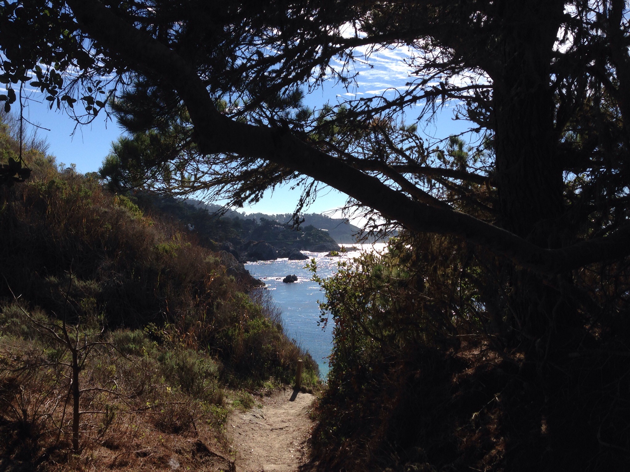
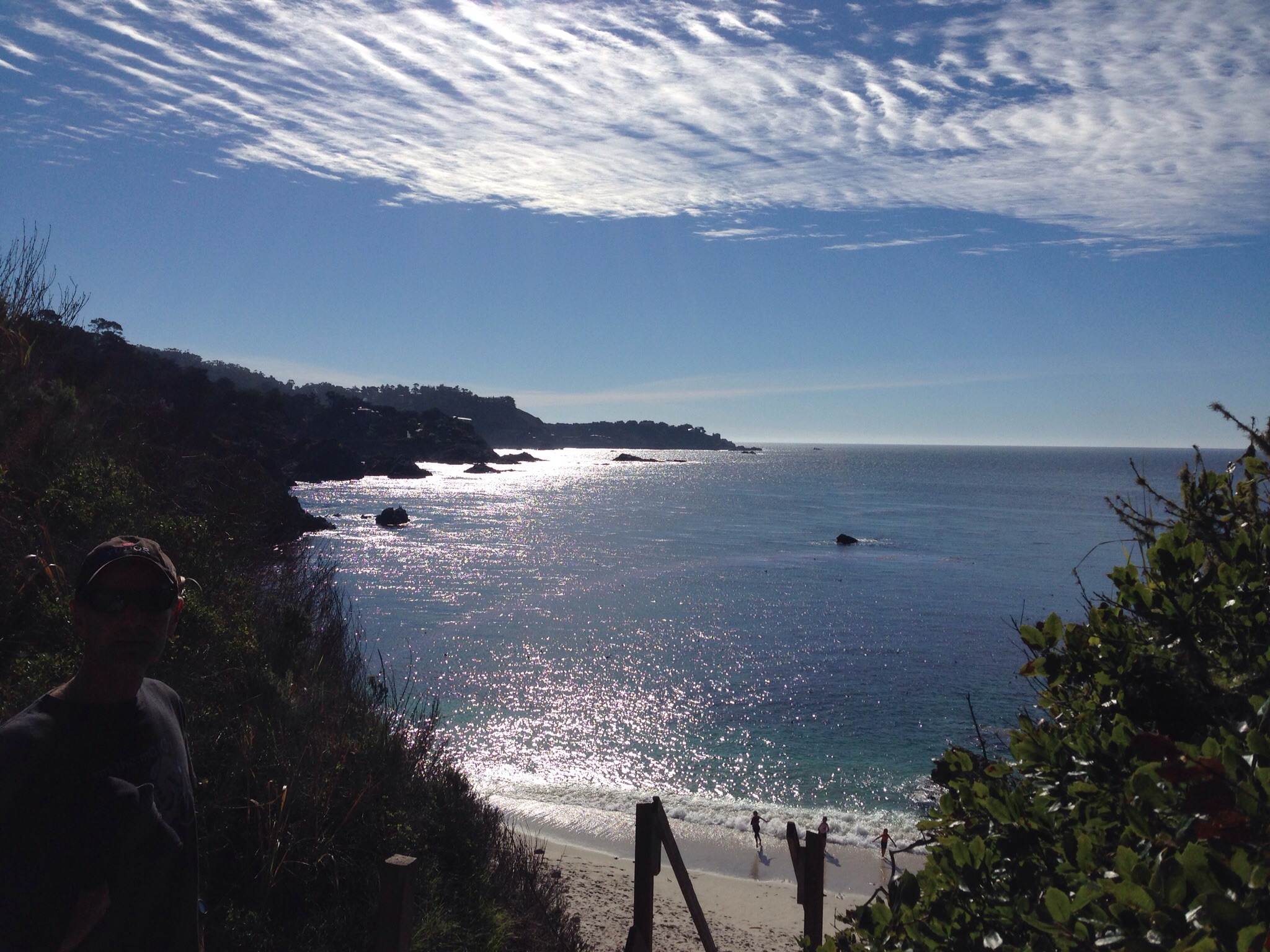
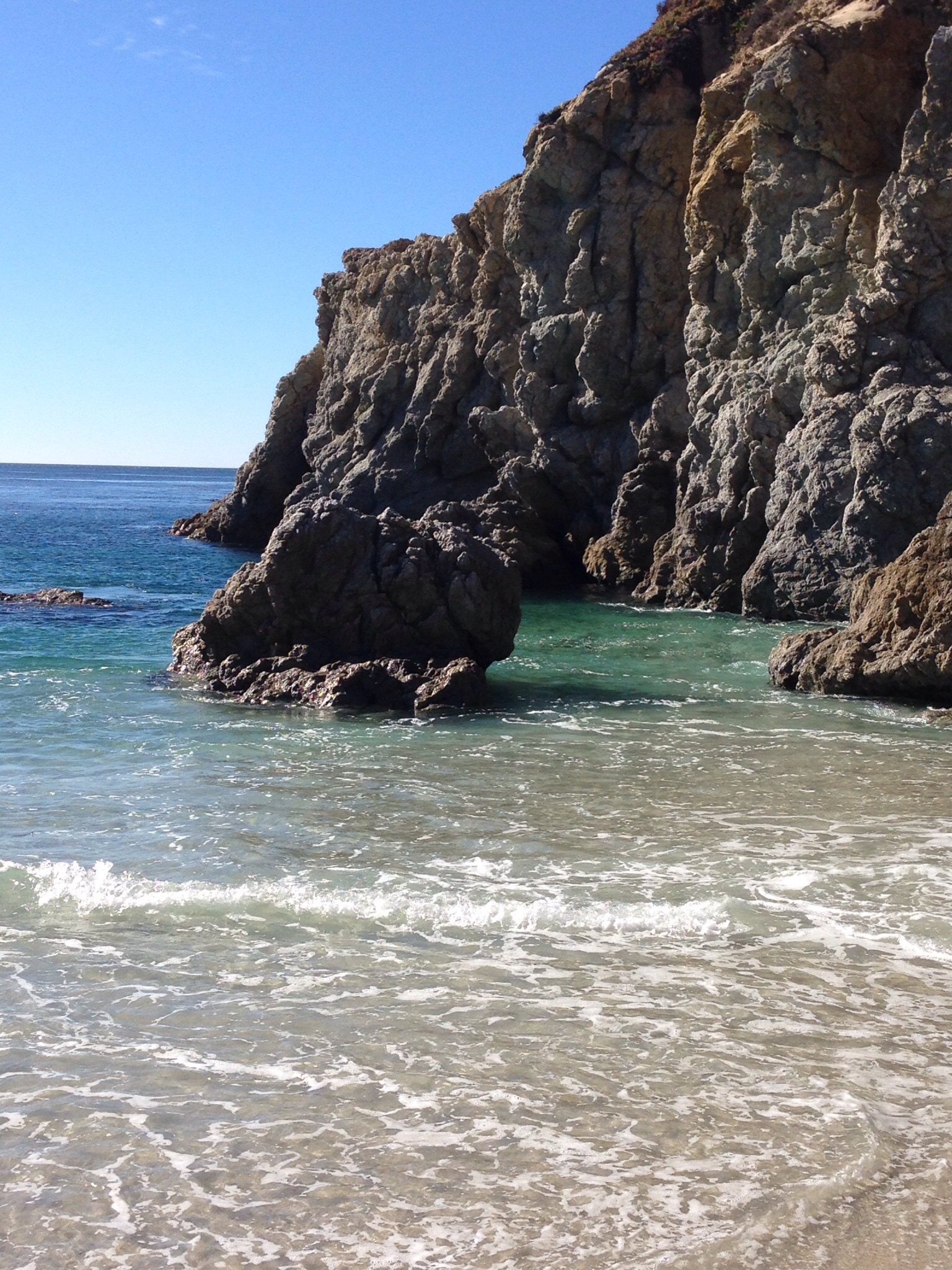
This year we returned to Point Lobos. Just south of Carmel, near the start of Big Sur, the spectacular coastline between Carmel and Santa Barbara. Trails wander through coastal woods, and lead to cliffs that manage to be both rocky and sandy at the same time. Cypress trees are silhouetted against an open skyline, and out in the ocean rocks form classic arches that create pathways for the waves to pool and then crash. Along the route, numerous white sand beaches nestle between the cliffs. They are only reachable by rickety wooden stairs that wash out in every storm of any significance.
These hikes aren’t really for training and they aren’t even really to see or experience anything new. What makes them special is our family and friends, many of whom we only see once a year. We’ve been to these spots together any number of times. But as each year passes, the lens I view them through changes. The daughters launched into their twenties; the nieces with babies and boyfriends. Yet despite the ever growing cascade of years — the pelicans are still in flight; the sun glints off the water; the flat silver half dollar of the ocean is tossed by the roar of the waves. Still a peak experience, of sorts.
We are now back in flat Florida following a three day adventure in New Hampshire via Boston (Somerville, to be more exact). After a bumpy flight, we checked into our AirBnB. For those of you not in the know, wannabe hoteliers or innkeepers who have enrolled in the program can let out their spare room – or their whole apartment or house if it’s going to be vacant – for varying lengths of time and at reasonable rates. Our 20 something daughter had urged us to try it. Of course, it’s an app. Once we got used to the idea that we were staying in someone else’s temporarily empty studio apartment – surrounded by all their books and other possessions – it worked out well. I guess we should have tried Uber on this trip as well.
A Portuguese breakfast – climbing food?
After breakfast at a Portuguese restaurant – which involved cod, shrimp and fish cakes, rice and beans – the husband, the older daughter, her boyfriend and I left rainy Boston for the three hour drive to Jackson. Our transportation was the boyfriend’s aged Previa minivan with 168,000 miles, including at least two trans-continental trips. As we got closer to New Hampshire the grey clouds lifted and we entered Jackson under crystal clear blue skies – as well as a city-worthy traffic jam in North Conway. We clearly weren’t the only people with the idea of a long New Hampshire fall weekend.
We stayed at the Inn at Jackson, the former vacation home of the Baldwin family (as in pianos, for you musicians out there). Charming rooms with a very nice communal living room, roaring fire, board games, and all of the things that we Floridians associate with fall in New England. That night we had dinner at The Wentworth, a sprawling hotel coping with what seemed to be an unexpectedly large number of diners.
The Inn at Jackson
Sunday morning was our summit day. Our hosts had kindly put out breakfast food for us since we were hoping for an early departure – but somehow – due more to the husband and me than the other two members of our party – we still didn’t take off until 30 minutes later than planned – a pattern that unfortunately pervaded the entire climb.
We started from Pinkham Notch visitors center. The boyfriend bought me a three dollar map – which my daughter had said would make me happy. It did that, but more importantly, it actually served a much-needed traditional map function later in the day.
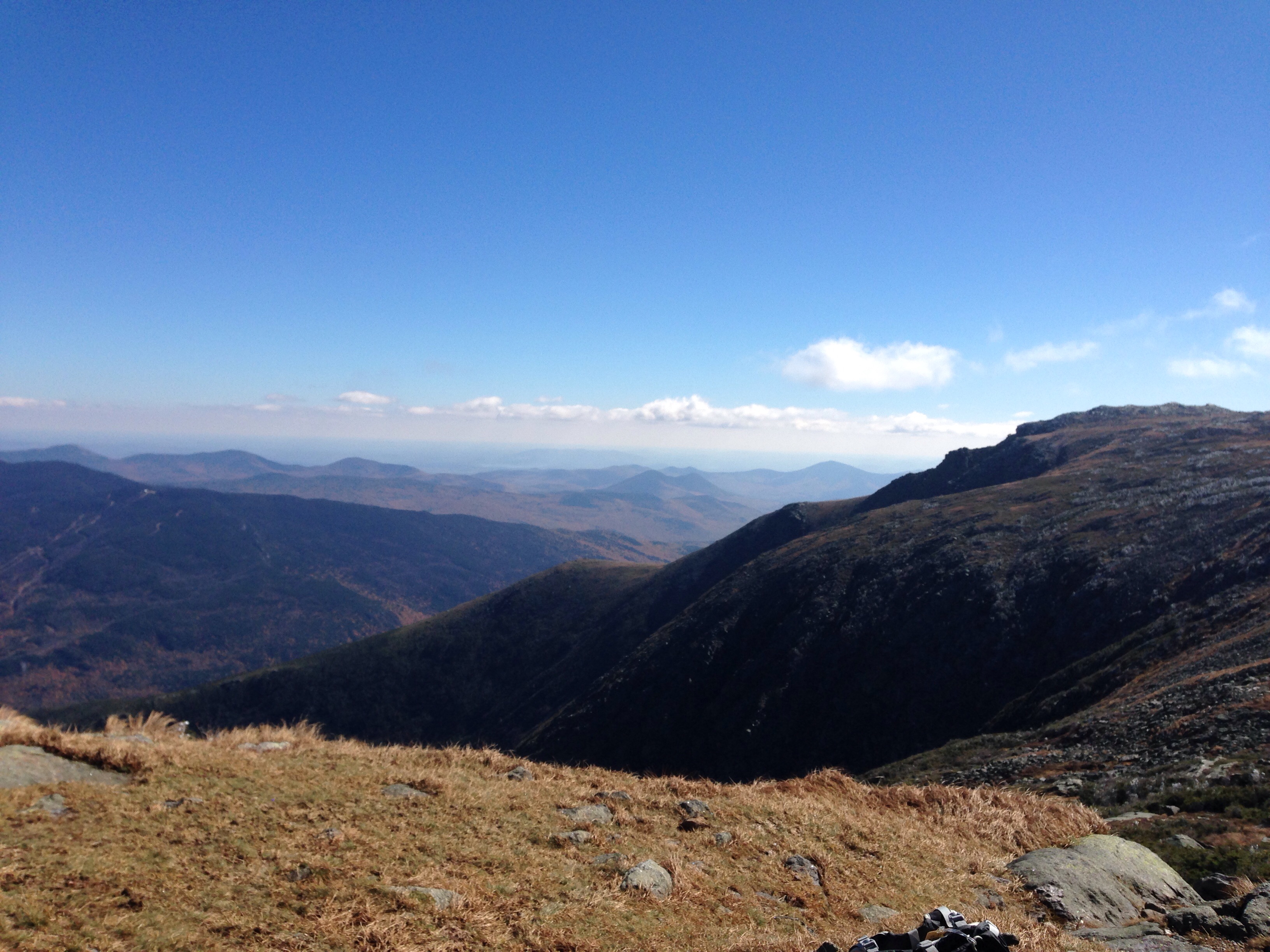
Mount Washington – and the Tuckerman Ravine Trail in particular- is rocky. The first couple of miles consisted of a wide path of semi steep ascents over what looked to be a rocky river bed. The half way point was Hermit Lake Shelter. Ironically, that was the windiest point of the whole day and caused us all to don extra layers that we spent the next few hours shedding. We stopped there for a mid morning snack. We may have been the only people climbing the mountain with a loaf of whole wheat bread, a hunk of cheese, a hunk of salami and a full jar of grey poupon mustard. Oh, and we had some left over GUs from Elbrus.
Below Hermit Lake Shelter
We had spectacular weather. Most of what I had read about Mount Washington had focused primarily on the horrible weather and didn’t spend much time at all on the difficulty of the trail. So while we were very prepared – in fact, over prepared – for the weather, we hadn’t actually taken into account the steepness and rockiness of the trail. After the half way point, we basically spent the next couple of hours scrambling up large boulders, some of which were quite wet from the waterfalls and streams that cross the trail. We were also slowed by the hordes of international tourists speeding up to the summit in terribly coordinated hiking outfits whom we felt compelled to let pass. In retrospect, we might have been better off had we been less polite.
And speaking of clothes – the ill-fated pants with the dysfunctional zipper (see earlier blog entries) reared their ugly legs again. I swear this was their last excursion. About an hour or so from the summit I realized the pants were constricting my left knee every time I stepped up – to the point I had developed a good sized blue bruise right below my knee. Finally I gave in, recognized the pants for what they were and stripped down to my light weight hiking pants that I had the foresight to wear underneath. My mobility increased enormously.
We finally reached the summit about 2 or so – well later than we should have, given that sunset was at 6:05. Nonetheless, we stopped for a while and had some hot tea in addition to our second meal of salami and cheese. The summit is a total tourist area. There’s a train that chugs its way up there. Others drive up on the “auto road,” and of course there are scores of people who actually climbed. There’s a museum, a gift shop and a snack bar. Remote, it is not.
Finally we started back down. We took Tuckerman Ravine Trail for a little bit, then veered left to the Lion Head trail. All of a sudden the crowds thinned, and the landscape grew wilder. It was much steeper than the other trail, and marked almost exclusively by stone cairns. We hiked through tunnels of dwarfed evergreens and slid ourselves down several rock chimneys. A number of the drops were steep enough that the daughter and I resorted to the good old fashioned sit down on your rear method of descent. At a couple of points the trail seemed to disappear into nothingness at the edge of a cliff – and all of a sudden you’d see a tiny little path down.
Lion Head Trail
Eventually that trail arrives back at Hermit Lake Shelter and rejoins Tuckerman Ravine Trail – at which point we realized we were out of water. We’d made a really stupid mistake of not refilling our bottles at tourist central at the summit, thinking we had enough. The boyfriend valiantly volunteered to run what we thought was a short distance to the water pump – only to find it wasn’t a very short distance and the pump required numerous pumps before anything came out of it. By then it was clear the sun was rapidly on its way down and we got out our headlamps to be ready.
We were now off the steeper and more beautiful trail back to the river bed of rocks. Actually there was a real river beside us much of the way. I finally took the lead since down is usually my strong suit – that is, when I am not having to slide down rocks on my rear – and we made extremely good time at first. Still, the only other people on the mountain now seemed to be professional trail runners who literally jumped over the rocks like moths flitting from light to light. Once the sun was down, any pretense we’d had to speed was done – one wrong step and turn of the ankle and that would be it. In the dark it’s easy to question where you are – especially since I had a strong tendency to want to follow the water runoffs – which looked awfully trail like to me – and the daughter seemed to want to turn right regardless of location. The three dollar map became very useful to provide some confirmation we were actually heading in the direction of the lights from the visitors center that occasionally flickered in the distance.
Finally – and almost suddenly – our journey through the night ended and there we were at the Previa. Injuries : some blisters – daughter and boyfriend; bruises – daughter and me (both banging legs on rocks and pants injury). Damaged equipment – somehow the daughter’s hiking pole had flipped open, the bottom part fell off, and she didn’t notice until we were at the bottom! She said it had seemed a little shorter. A Black Diamond, no less. Rewards: meeting a challenge head on with a team that included not just the husband and me but the daughter and boyfriend. When the husband and I are old and grey and sitting by the fire I hope they’ll remember we weren’t always that way.
So, lessons learned. In the broader scheme of things the husband and I remembered we really like sheer mountain climbing better than rock climbing – which can still sometimes trigger my innate fear of heights. We are rethinking the Grand Teton and are now seriously thinking again about Cotopaxi in Ecuador. It’s another almost 20,000 foot glaciated mountain that is awfully appealing.
And on the smaller scale of things we were reminded that you can make stupid mistakes on even 6200 foot mountains and regardless of how many you’ve climbed. You’ve got to be humble in the face of a mountain.