

Foothills is a misnomer- it implies a lead up to something large and here in Florida that’s apparently only a 375 foot mountain called Sugarloaf. But the Ten Mike Clay Loop has an outsized reputation around here – it’s rumored to be the site of many a professional athlete’s training regimen and numerous folks have mentioned it to J and me as a good candidate in our never ending quest to find some topography in Central Florida.

So now that my weekends are slightly freer than they were in the midst of my trilogy of trials and arbitration, last Saturday we ventured out to try the famed loop. Of course, everything we had read urged an early start but for us that translated into arriving at the small parking area just before noon, when the thermometer was just topping 89 degrees.
Due to the eccentricities of google maps we actually ended up driving most of the loop before we finally located the small parking area, just off of Hwy 27. At that time of day, there was only one other car parked and in fact, on the whole trail we only saw one or two very hot looking runners. We didn’t see any other backpackers.
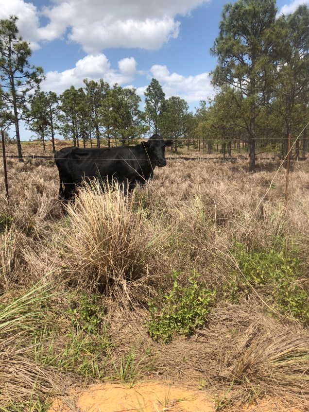
The clay roads start off with some gradual uphill through cattle grazing land. If you try hard, you can imagine you’re in some spot more exotic than Central Florida.
But at the same time, there’s a tremendous amount of what appear to be very industrial water reclamation or drainage structures. My favorite was at the top of a small hill – large metal pipes and structures by a hollowed out pond of some type and a sign indicating it’s a recharge area for the Florida Aquifer. I guess it was a large scale version of a rain barrel.
You hike first along Five Mile Road. There are a moderate number of cars but they are relatively well behaved. We enjoyed the high school,students who kept stopping in the middle of the road to take photos on top of their car. Eventually you walk past a never ending tree nursery. If you ever wondered where maples, cedars, and the like some from in Central Florida, we found the spot.

Most of the land to the side of the road is cordoned off with barbed wire, but thankfully, there’s an old, unmaintained orange grove without such barriers close to mile 5. I say thankfully because although we had plenty of water we’d brought absolutely no food. Who would have thought a purloined orange could taste so good.
At mile 5, just as you leave Five Mile Road to turn onto SchofieldnRoad I decided to switch into my Grade B2 mountaineering boots, bought specially for the Stock Kangri climb. It seemed a bad idea to me to wear them for the first time on summit day. My costume change was just in time for the hardest and hottest part of the hike. It turns out the steepest hills (and some are quite steep) are during the last three miles. Plus, a lot of it is through soft sand, adding an extra challenge. The other part of the experience is that you can’t tell whether you’ve hiked the final hill or not. There always seemed to be bigger one just over the horizon. Good training for the “fake summit” experience you find on a mountain, just when you think you’ve reached the top.

So, once again we Florida hikers try to morph sand into snow, hot temperatures into below freezing ones, and the rolling hills of what was probably an ancient seabed into mountains formed from earthquakes and volcanos. It’s worked before and I hope it will work again. We leave two months from tomorrow for Stok Kangri.
