I’m still processing our Mount Washington hike. And I am increasingly struck by how little I actually want to go “real” rock climbing, which our present idea for a next adventure – The Grand Teton – seems to offer in abundance. I’m currently reading To the Last Breath – A Memoir of Going to Extremes by Francis Slakey. It starts off with him and a climbing partner sleeping on a ledge on the face of El Capitan in Yosemite – roped, of course – only to have the webbing that held their “cot” fray and plummet out from under them some 2000 feet down. Not for me.
But in contrast, somehow the idea of a 14 hour night into day slogging up and down a glacier on a volcanic mountain – even with the incumbent risk of avalanche, crevasses, and a slip that could turn into a never-ending tumble down – doesn’t read the same way to me. I’m not sure I can articulate why a sheer granite wall feels so different than an expanse of deep white, but it does. Perhaps the glacier seems something that simple determination can conquer; the other requires more innate physical ability and guts.
Whatever the case, all I can say is that narrowing our focus to a trip in June or July of 2015 to Cotopaxi, the second highest mountain in Ecuador, with acclimatization hikes up Guagua Pichincha (15,696 feet) and Illiniza Norte (16,818 feet), is reinvigorating my training. Today, having narrowly managed to dodge the paper avalanche currently threatened by thousands of documents on my desk, I climbed stairs for over an hour – seven times up and down my building. Cotopaxi will be at least as hard as Elbrus, and there will be a sufficient amount of scrambling, especially, I think, on Illiniza Norte, to satisfy any inchoate desire to climb up a pile of rocks.
Cotopaxi is 19,348 feet, 7 feet higher than Kilimanjaro and about 800 feet higher than Elbrus. Every time I have climbed a mountain I have always felt if I had a do-over I’d do it better the next time. But you don’t go backwards to a mountain. You just find a new one.
We are now back in flat Florida following a three day adventure in New Hampshire via Boston (Somerville, to be more exact). After a bumpy flight, we checked into our AirBnB. For those of you not in the know, wannabe hoteliers or innkeepers who have enrolled in the program can let out their spare room – or their whole apartment or house if it’s going to be vacant – for varying lengths of time and at reasonable rates. Our 20 something daughter had urged us to try it. Of course, it’s an app. Once we got used to the idea that we were staying in someone else’s temporarily empty studio apartment – surrounded by all their books and other possessions – it worked out well. I guess we should have tried Uber on this trip as well.
A Portuguese breakfast – climbing food?
After breakfast at a Portuguese restaurant – which involved cod, shrimp and fish cakes, rice and beans – the husband, the older daughter, her boyfriend and I left rainy Boston for the three hour drive to Jackson. Our transportation was the boyfriend’s aged Previa minivan with 168,000 miles, including at least two trans-continental trips. As we got closer to New Hampshire the grey clouds lifted and we entered Jackson under crystal clear blue skies – as well as a city-worthy traffic jam in North Conway. We clearly weren’t the only people with the idea of a long New Hampshire fall weekend.
We stayed at the Inn at Jackson, the former vacation home of the Baldwin family (as in pianos, for you musicians out there). Charming rooms with a very nice communal living room, roaring fire, board games, and all of the things that we Floridians associate with fall in New England. That night we had dinner at The Wentworth, a sprawling hotel coping with what seemed to be an unexpectedly large number of diners.
The Inn at Jackson
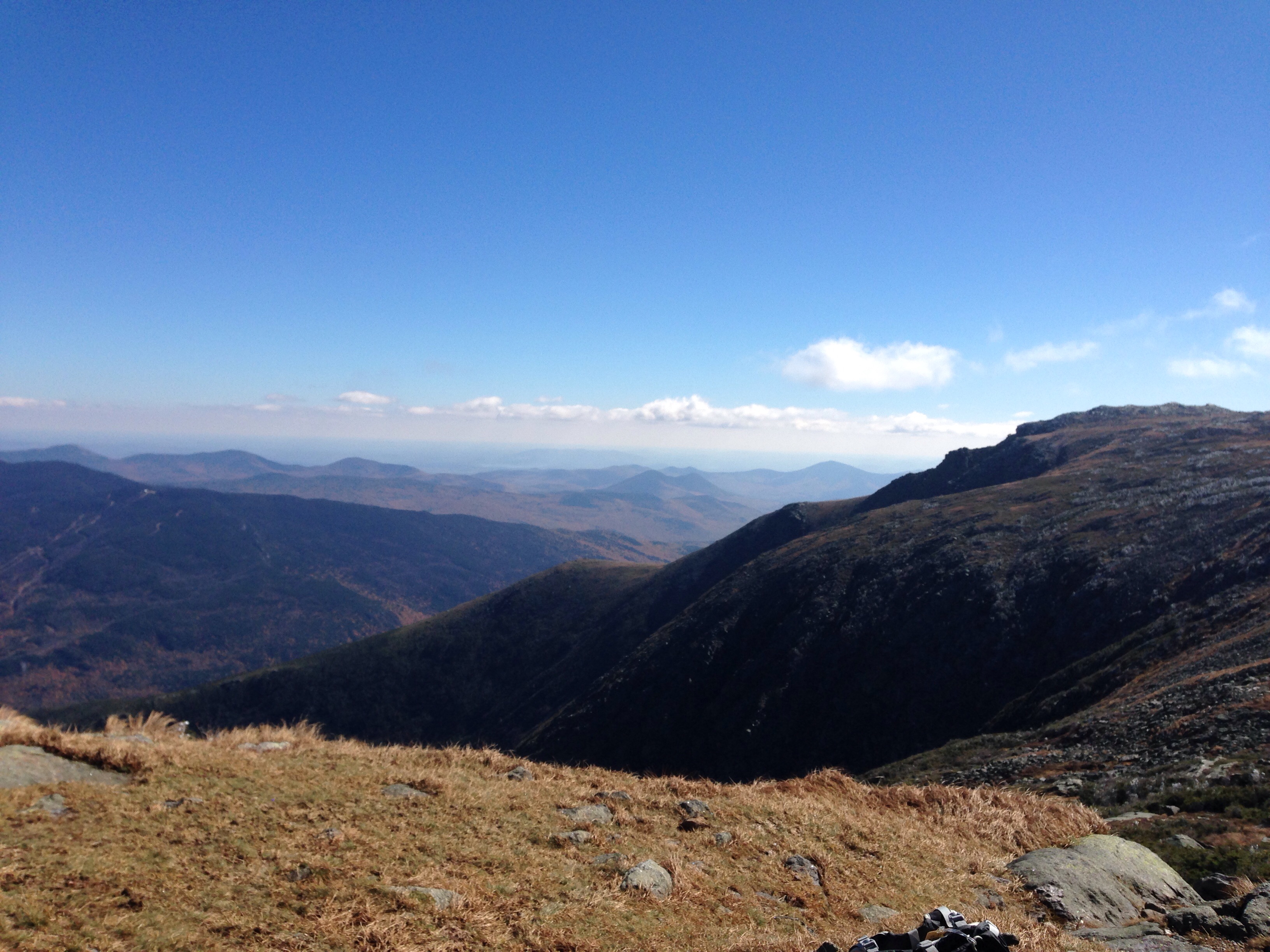
Sunday morning was our summit day. Our hosts had kindly put out breakfast food for us since we were hoping for an early departure – but somehow – due more to the husband and me than the other two members of our party – we still didn’t take off until 30 minutes later than planned – a pattern that unfortunately pervaded the entire climb.
We started from Pinkham Notch visitors center. The boyfriend bought me a three dollar map – which my daughter had said would make me happy. It did that, but more importantly, it actually served a much-needed traditional map function later in the day.
Mount Washington – and the Tuckerman Ravine Trail in particular- is rocky. The first couple of miles consisted of a wide path of semi steep ascents over what looked to be a rocky river bed. The half way point was Hermit Lake Shelter. Ironically, that was the windiest point of the whole day and caused us all to don extra layers that we spent the next few hours shedding. We stopped there for a mid morning snack. We may have been the only people climbing the mountain with a loaf of whole wheat bread, a hunk of cheese, a hunk of salami and a full jar of grey poupon mustard. Oh, and we had some left over GUs from Elbrus.
Below Hermit Lake Shelter
We had spectacular weather. Most of what I had read about Mount Washington had focused primarily on the horrible weather and didn’t spend much time at all on the difficulty of the trail. So while we were very prepared – in fact, over prepared – for the weather, we hadn’t actually taken into account the steepness and rockiness of the trail. After the half way point, we basically spent the next couple of hours scrambling up large boulders, some of which were quite wet from the waterfalls and streams that cross the trail. We were also slowed by the hordes of international tourists speeding up to the summit in terribly coordinated hiking outfits whom we felt compelled to let pass. In retrospect, we might have been better off had we been less polite.
And speaking of clothes – the ill-fated pants with the dysfunctional zipper (see earlier blog entries) reared their ugly legs again. I swear this was their last excursion. About an hour or so from the summit I realized the pants were constricting my left knee every time I stepped up – to the point I had developed a good sized blue bruise right below my knee. Finally I gave in, recognized the pants for what they were and stripped down to my light weight hiking pants that I had the foresight to wear underneath. My mobility increased enormously.
We finally reached the summit about 2 or so – well later than we should have, given that sunset was at 6:05. Nonetheless, we stopped for a while and had some hot tea in addition to our second meal of salami and cheese. The summit is a total tourist area. There’s a train that chugs its way up there. Others drive up on the “auto road,” and of course there are scores of people who actually climbed. There’s a museum, a gift shop and a snack bar. Remote, it is not.
Finally we started back down. We took Tuckerman Ravine Trail for a little bit, then veered left to the Lion Head trail. All of a sudden the crowds thinned, and the landscape grew wilder. It was much steeper than the other trail, and marked almost exclusively by stone cairns. We hiked through tunnels of dwarfed evergreens and slid ourselves down several rock chimneys. A number of the drops were steep enough that the daughter and I resorted to the good old fashioned sit down on your rear method of descent. At a couple of points the trail seemed to disappear into nothingness at the edge of a cliff – and all of a sudden you’d see a tiny little path down.
Lion Head Trail
Eventually that trail arrives back at Hermit Lake Shelter and rejoins Tuckerman Ravine Trail – at which point we realized we were out of water. We’d made a really stupid mistake of not refilling our bottles at tourist central at the summit, thinking we had enough. The boyfriend valiantly volunteered to run what we thought was a short distance to the water pump – only to find it wasn’t a very short distance and the pump required numerous pumps before anything came out of it. By then it was clear the sun was rapidly on its way down and we got out our headlamps to be ready.
We were now off the steeper and more beautiful trail back to the river bed of rocks. Actually there was a real river beside us much of the way. I finally took the lead since down is usually my strong suit – that is, when I am not having to slide down rocks on my rear – and we made extremely good time at first. Still, the only other people on the mountain now seemed to be professional trail runners who literally jumped over the rocks like moths flitting from light to light. Once the sun was down, any pretense we’d had to speed was done – one wrong step and turn of the ankle and that would be it. In the dark it’s easy to question where you are – especially since I had a strong tendency to want to follow the water runoffs – which looked awfully trail like to me – and the daughter seemed to want to turn right regardless of location. The three dollar map became very useful to provide some confirmation we were actually heading in the direction of the lights from the visitors center that occasionally flickered in the distance.
Finally – and almost suddenly – our journey through the night ended and there we were at the Previa. Injuries : some blisters – daughter and boyfriend; bruises – daughter and me (both banging legs on rocks and pants injury). Damaged equipment – somehow the daughter’s hiking pole had flipped open, the bottom part fell off, and she didn’t notice until we were at the bottom! She said it had seemed a little shorter. A Black Diamond, no less. Rewards: meeting a challenge head on with a team that included not just the husband and me but the daughter and boyfriend. When the husband and I are old and grey and sitting by the fire I hope they’ll remember we weren’t always that way.
So, lessons learned. In the broader scheme of things the husband and I remembered we really like sheer mountain climbing better than rock climbing – which can still sometimes trigger my innate fear of heights. We are rethinking the Grand Teton and are now seriously thinking again about Cotopaxi in Ecuador. It’s another almost 20,000 foot glaciated mountain that is awfully appealing.
And on the smaller scale of things we were reminded that you can make stupid mistakes on even 6200 foot mountains and regardless of how many you’ve climbed. You’ve got to be humble in the face of a mountain.
Inca Trail part two. I have realized that this experience was at least a trilogy, so part 3 will follow. Today’s installment – the “village” part of the hike, followed by “Challenge Day” and the Dead Woman’s Pass.
We met our fellow hikers at about 5:30 a.m. in front of the Hotel Marquesas in Cusco. We had briefly encountered each other the previous day during an introductory briefing session at the trekking company’s office. We were a diverse lot – our family of four, newlyweds from Boston exploring Peru, an English couple traveling around the world for a year, accompanied on this leg of the journey by a sister, a couple of salesmen from Texas, a doctor and his wife, also from Texas, and one man from California and another from Germany. Fifteen in all – it was a large and unwieldy group.
After what seemed like a very long bus ride, we stopped for breakfast in the small town of Oyelltambo. The restaurant was most notable for highly elaborate rabbit cages in its garden. It was very early in the morning but I think I am remembering this correctly.
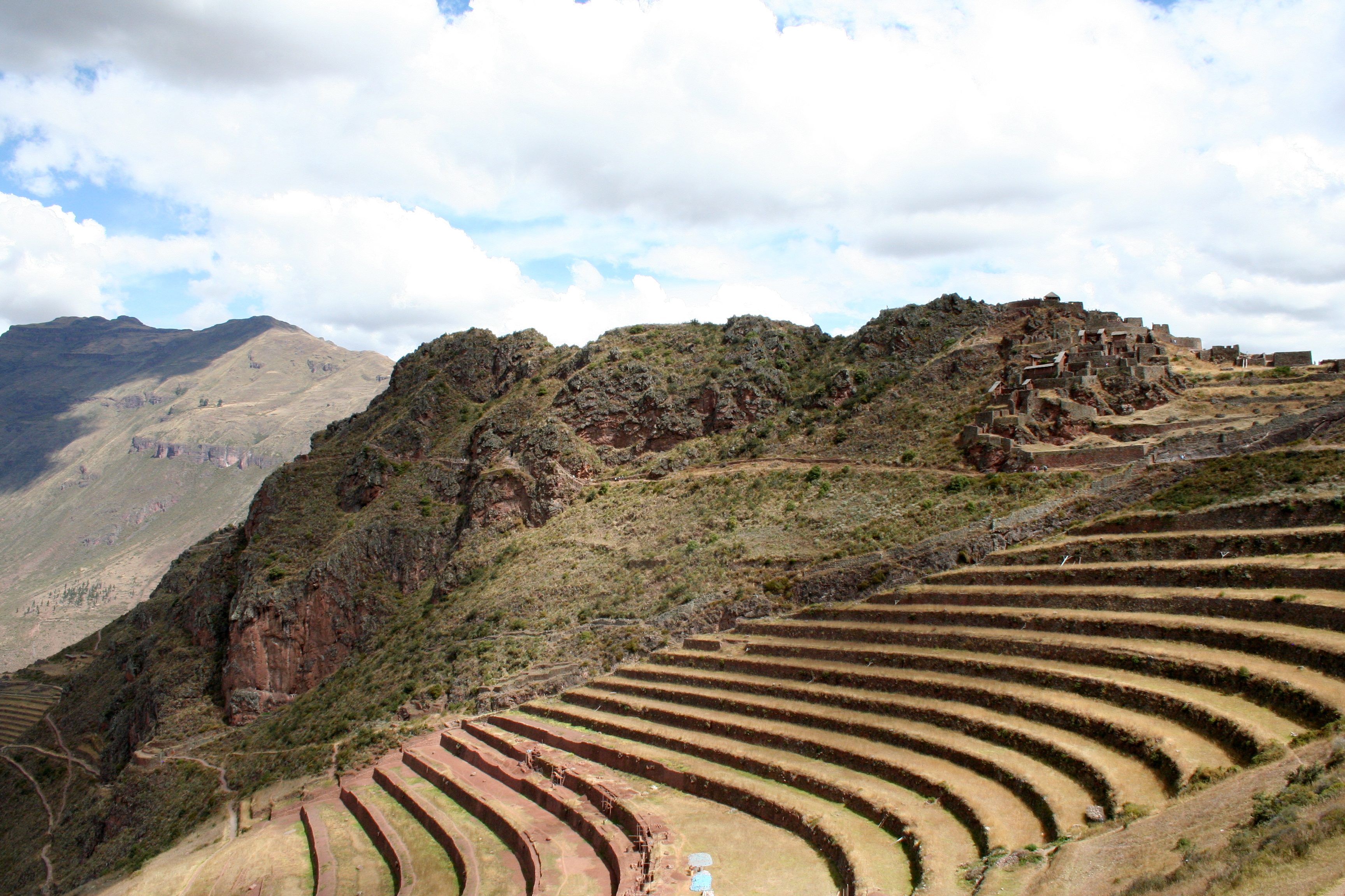
We journeyed on to Kilometer 82 – the official beginning of the trail (or trial, depending on your perspective). We were struck by how agricultural it all was. Women on donkeys carrying bushels of herbs; local people selling water or other items at about every rest stop. The mountains on either side of the trail were green, capped with snow. And flowers everywhere. I hadn’t realized before that begonias grew in the wild. Views of the ruins of Llactapata – a settlement of 100 or so buildings that would have housed soldiers and others traveling the trail. Our trekking company did not scrimp on food. Trout for lunch. Apparently inspired by lunch, our guide then had to explain to one of our fellow hikers that the “no hunting” restrictions also meant “no fishing” with the fishing line he had brought from Texas.
Permits for the Inca Trail are strictly controlled and only a couple of hundred people can enter the trail on any given day. You also have to go with a trekking company – no independent forays along the hundreds of years old stone path.
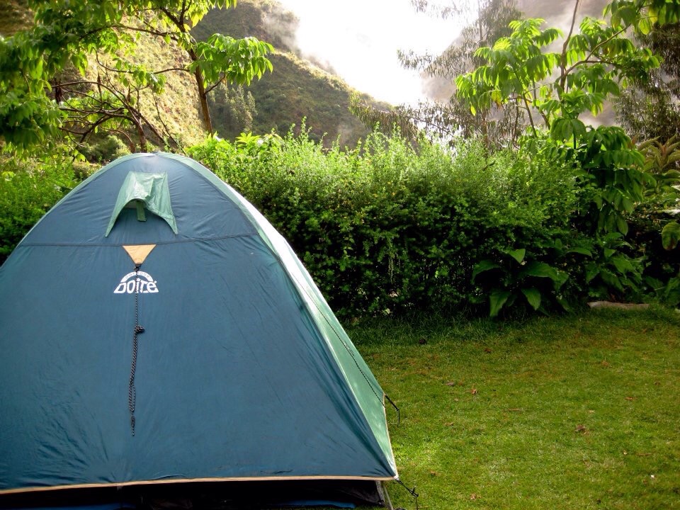
The first campsite, Wayllabamba, 3000 m, was in the heart of the agricultural area; in fact, local people were selling all different beers and drinks from aluminum containers. Dinner was a highlight – chicken with flaming bananas! But even with the semi-village feel of the campground, the remoteness kicked in with the southern hemisphere of evening stars – visible without any city lights. This was our first time camping with our daughters. Since we hadn’t reinvented ourselves as climbers until age 50, they had never experienced this growing up. But they were good sports and settled into their own tent well – although quite greatful we had made them bring long underwear.
The next day, day 2, I finally started to feel I had found my hiking rhythm. That day we reached the highest pass in the trail – Dead Woman’s Pass – at 4200 m. It was overcast and drizzly and suddenly the layers of clothes that had seemed too warm in Cusco felt right.
It rained on and off the whole way, the grey punctuated by the yellow orchids we saw every now and then. The up was ok, if steep, but the down hard on the knees. By now hiking on the carved square stones of the trail – some replacements, but some the same the Incas hiked on those hundreds of years ago on missions no one, to this day, totally understands. There was no written tradition.
Yellow orchids – michi michi
Of course, as we were accompanied on this hike by the daughters I had to assume both my mother and hiker persona – not always compatible. In fact, the maternal one is also known as Mommy the Packhorse and as usual I ended up carrying many of the layers that belonged to the two girls. A lesson to be learned: the younger one decided to prance well ahead of the rest of the family on the steep approach to Dead Woman’s Pass, leaving her rain gear and warm jacket with her sainted mother. We found her 45 minutes or so later shivering and cold as the rain and wind picked up.
Dead Woman’s Pass
The tree line was about 10,000 feet. Dead Woman’s Pass, at close to 14,000 feet, was cold, rainy, and very windy. Only a few hundred of feet below it was much warmer. Still, our camp site that night – Pacamayo, 3600 m, was very cold. Gone were the villagers. We were in a non cell phone service area, completely disconnected, and with only the grey shades of the ancient Incas for company.
To come – day 3 and 4: the placing of rocks on a cairn, Incan funereal rites, daughter number 2 gets really sick, sunrise (almost) over Machu Picchu, and the van ride back and the attack of the mysterious wild animal. Stories to come.
Our trek along the Inca Trail in May 2012 started off as a natural follow up to Kilimanjaro in 2011. Granted, it wasn’t a summit per se, but it certainly was a well-known hike, seemingly had a degree of challenge, and besides, we were able to convince our daughters, then 19 and 21, to accompany us. But what we didn’t realize was that the trip would be as much of a cultural experience as it was a climb. Many mountains are remote and you are more exposed to the insular world of the mountaineer and whatever wildlife lives above the tree line than you are to any local residents. But Machu Picchu surprised with the many, many people we saw every mile of the way – from the beer hut on day 2 or so to the women riding donkeys with bushels of cut herbs on their backs.
The trip began rather inauspiciously – for some reason the husband and two girls thought that Mexican food and margaritas at the Orlando airport was an appropriate way to kick off a trip to Peru. Not so, and all I can say is they suffered quite a bit for it, while my salad and wine seemed to agree quite nicely, thank you very much. We flew on Copa Air – the Panamanian airline, and like most non US airlines, it was quite pleasant – although we had bad weather in Panama City and landed with quite a bump. Ran to the next gate and just made our flight to Lima, where we landed about midnight. But you would never have known it was the wee hours of the morning from the hustle and bustle of the Lima Airport. It might as well have been late afternoon on a Saturday of holiday weekend. All the shops open, people dining.
Had to recheck our bags at the LAN counter – our airline for for the trip to Cusco – and got to the gate about 2 a.m. Together with a number of other intrepid travelers, we each found a section of seats to crash on for a few hours, backpacks within touching distance. We arrived in Cusco in early morning, and could feel the change from sea level to 11,000 feet. We stayed at the beautiful Hotel Marquesas – a 16th century residence converted to hotel. A courtyard in the center; walls about a foot or more thick. The husband and I had a balcony overlooking the street from which we could see the cathedral. The girls had an interior room that felt like a cave. Because we had arrived so early, the rooms weren’t ready and we were immediately offered – and accepted – coca tea – which does in fact help with sudden altitude change.
Hotel Marquesas, Cusco
Travel hint. Only bring new bills to Peru. Currency exchanges will not accept anything with creases or tears. And they are serious about it. Sight seeing was the order of business for the first day or so. The cathedral’s wonderful painting of the Last Supper where a guinea pig substitutes for the bread embodied for me the peculiar marriage of local and foreign cultures. And the food! For lunch I had potatoes in a red pepper cream sauce. (Peru has, I believe, more varieties of potatoes than anywhere else in the world.) Dinner – chicken stuffed with goat cheese and elderberry sauce; local trout; poached pears with cinnamon ice cream. And you can’t forget the pisco sours – like a gin fizz made with a brandy.
We spent the next day on a bus tour of the Sacred Valley. Although it was supposed to be for both Spanish and English speakers, we seemed to be the only English speakers and it was remarkable how ten minutes of Spanish could turn into about two sentences of English. Nonetheless, the ruins were remarkable, the Andes amazing, and we were struck by the authenticity of the people and places we were driving through.
That night the four of us did a mini gear check, getting ready for a van to pick up us up at 5:30 am to drive to the fabled Kilometer 82 – the start of the trail. Next post – the start of the hike.
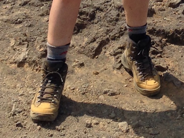
Boots with soul
This coming week I’m planning to lug the hiking boots back to my office so they can start to climb stairs with me again. They are full leather Lowa Renegades that I bought in 2010. You could tell back then if a climber was from Central Florida because those were literally the only full leather boots being sold in the area.
I figure that it’s a good idea to be back in hiking boot mode before the Mt. Washington trip in a few weeks. And I know my daughter, who is going along for this trip, is tired of me telling her to do some hiking in her hiking boots – but since I don’t think she has done so for any length of time since the Inca Trail in May 2012, I certainly think it’s advisable.
Each time I put on my boots I see just a little bit of dirt or dust from treks past. Some days after the Boston Marathon bombing occurred and the bombers identified, I was climbing up and down the stairs in my office building. We had just returned a few weeks before from hiking down and up the Grand Canyon – South Kaibob and Bright Angel Trails. There was still red, copper dust ground into my boots that reflected the rusty color of the stair rails. The burnt colors around me, and the cavernous recollection of descending down into the canyon converged and I was overcome with the tragedy of how the two brothers could have so missed the point of the mountains and sun and whether they even realized what they had done.
I dragged around dregs of Kilimanjaro for months on my boots. The husband and I hadn’t bothered to take advantage of the repeated offers to clean our boots when we were in Africa – hence, even when we returned, my navy blue boots had a grey ashy sheen that outlasted multiple rainstorms. Each time I put them on I felt a little bit again the magic of that moment if stepping on the summit.
Elbrus didn’t make as big a mark on my boots as it did on me. Probably because once at the Barrels – the converted oil barrels where climbers stay at 12,000 feet – we were in our double plastic boots and crampons. But my boots still bear a little dust of the Caucasus mountains, especially the fields of wildflowers on the observatory hike and the dried salty sweat from the horses as we went horseback riding. And I’m sure that somewhere hidden in the creases of my boots there is a bit of olivine sand from Green Sands Beach in Hawaii, or the deep rich soil of the Inca Trail.
I’m hoping my boots have a lot more miles in them – although when I looked at the soles they have lost a fair amount of their grip. But grip or no grip – they have a lot of soul.
I’ve been meaning to write this post for a long time. Certainly, when I have been training for various climbs and treks, adding cardio to my work out was an essential component of success. But much of climbing or trekking is the sheer grit of simply keeping on going even when every part of you is saying stop right now. And that’s where yoga has made all the difference – and here’s a shout out to my many, many yoga instructors over the years, whose voices were in my head on so many of these hikes. Elbrus on the long slushy slog on the way down. Mt. Hood, where the 60 mile an hour winds were blowing me into the mountain and I couldn’t see because the blinding snow had totally occluded all vision.
I remember my first Bikram yoga class in 2007 or so. At that time, Bikram Yoga Orlando was located next to an elevated expressway in an small old strip center (and I mean old – circa 1960s) next to a pet grooming place. That’s the reason I had seen it – I had dropped off the dogs (who are now 14!) and picked up a schedule from the pile outside the door. I’d been doing yoga for a long time and had heard of Bikram, but had never tried it. But I was then working long hours on an arbitration – the precise contours of which have long escaped me – and I thought, maybe this is just what I need as a break.
Bikram is supposed to be practiced at 105 degrees and 40% humidity – and at the new studio it is. But at that old place down on South Street I swear you could see clouds forming overhead and I am sure there were a couple of times rain drops actually came down.
After my first class – and I didn’t leave the room nor did I lie down, despite the heat – I thought – Ok, I’ll try this every other week. But the next week I was back. And, although I’ve kept “regular” Wednesday and Sunday yoga classes, pretty much every week I’m also at Bikram. For someone whose job is comprised of making decisions, to be in an environment where there is no decision except the one to go on is an incredible luxury. I follow what the instructors say; I know the dialogue; and each class I feel my body respond and become stronger. And there is a particular moment where listening to the dialogue and your own physical presence merge and become one – and for once, you can be in the present – no decisions to make except for the one to keep going.
And I don’t want to dismiss my so-called “regular” yoga classes either. Where else have I learned the ability to literally stretch my body into shapes and places it wouldn’t normally go. The beauty of Bikram is that it’s the same every week – but the beauty of the other yoga is that I’m challenged to see where I can move my body in space and create that extra last dimension around me and fill it with movement.
So why does this relate to summits? I’ve learned to control my breathing. On the mountain, I think – breathe normally, in slowly and out even longer. On Elbrus I recited the Bikram dialogue in my head. I went into that quiet place of the present that allows you to take those last few steps that lead to the summit – and just as importantly – that allow you to descend.
Yes, the original title of this post was “Motivation or Lack Thereof.” Only a few days ago, when I started this I was overcome by the the fact that as of that moment I had no clear goal in mind. Since 2010, I have trained for Kilimanjaro, Inca Trail, Mt. Hood, Grand Canyon, Mt. Elbrus, the Muliwai Trail in Hawaii (which turned into Mauna Kea). There has always been some journey out there that caused me to climb that extra flight of steps. And I was finding it increasingly hard to climb that extra set, even without carrying any extra weight in my backpack.
But thanks to the Labor Day weekend, and the time to spend messing about with airline reservations, we at least now have a trip to Mt. Washington in New Hampshire planned for mid-October. I am under no illusion that it will be anything like Mt. Washington in winter, when we had really wanted to climb it, but at least it is something uphill! And, in contrast to the Barrels on Mt. Elbrus, we will spend two nights with daughter number 1 and boyfriend at an inn originally built by the Baldwin family – as in Baldwin pianos. Somehow that seems significant. Due, I suppose, to 10 years of piano lessons.
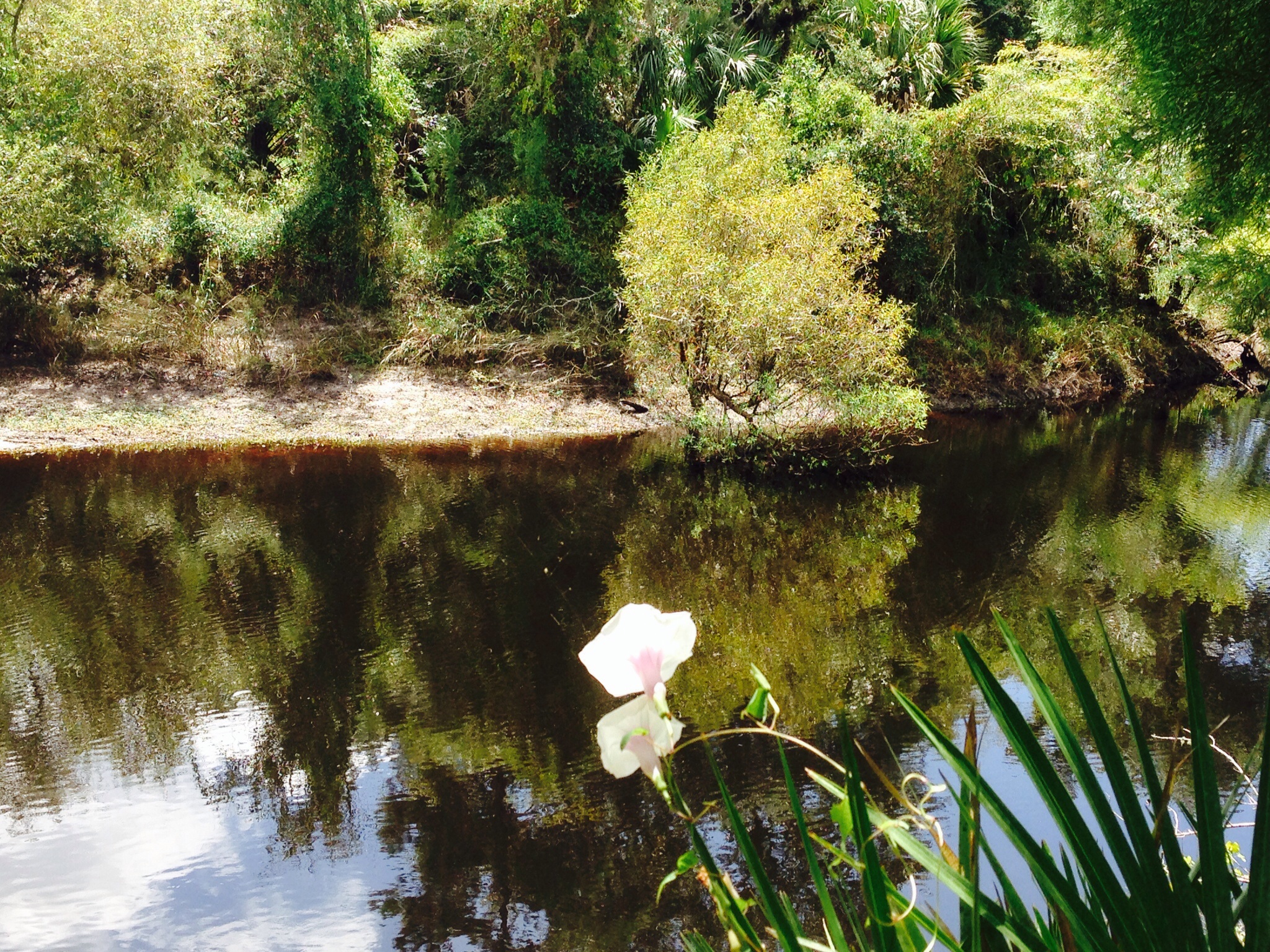
So, in celebration of at least committing to one summit in the foreseeable future, yesterday we donned our faithful hiking boots and ventured out to the Little Big Econ trail. (Econlockhatchee, for you non- Florida readers.) We hiked out the orange trail to what we have always heard referred to as the Boy Scout bridge. It’s the one trail in Central Florida where you are on what could (kindly) be described as a bluff overlooking the river. The river is remarkably still and very red, due, I believe, to the types of leaves absorbed into the water. Didn’t see any alligators sunning themselves on the very white beaches but did enjoy the many wildflowers that somehow were surviving the heat. A yellow gold flower shaped almost like a stalk of wheat, pinks formed like orchids, and all about palms, short, skinny, bushy, spiky, all different shapes and sizes. After the bridge we hiked away from the river on the white trail. Not many people take this path, presumably in part because of the 16 inch grasses that whip your legs as you walk by. But it’s beautifully shady, with Florida pines casting shadows over the undergrowth. Every now and then we went through a semi-cool spot – almost as in the ocean, when you encounter a sudden cool current. We were kept good company by a cadre of spiders who had created their own spider suburbia out there among the pine trees – their webs the equivalent of spider McMansions.
It was good to get out there and rev up the hiking engine again. With Mt. Washington anchored now in time and place, the next stop needs to be the rock climbing wall. I need to figure out if I have the courage to step off a sheer precipice and to trust the rope – both of which appear to be requirements for the Grand Teton climb we hope to do this summer. Motivation back – now if it will just stop raining I will see if I can make myself run a few miles.
Mauna Kea isn’t particularly well-known as a destination hike. Most people get to the top by car. But after my husband became the only person in Hawaii to come down with a severe case of flu in the middle of August 2013, thus putting the kabosh on our plan to backpack the Muliwai trail (more on that later), Mauna Kea seemed an attractive alternative.
Due to the unexpected change in plans we had several wild card nights – no reservations, no nothing. Two nights before we climbed Mauna Kea we stayed at a 1970s hotel on the edge of Kona, complete with kitchenette and ancient dinette table. Ocean front was an understatement as the second floor unit we were in was bombarded with large waves throughout the night – unclear what the decibel level was. The next night we returned to the semi rundown estate of the Rockefellers outside of Waimea, now converted to a somewhat quirky bed and breakfast – without the breakfast.
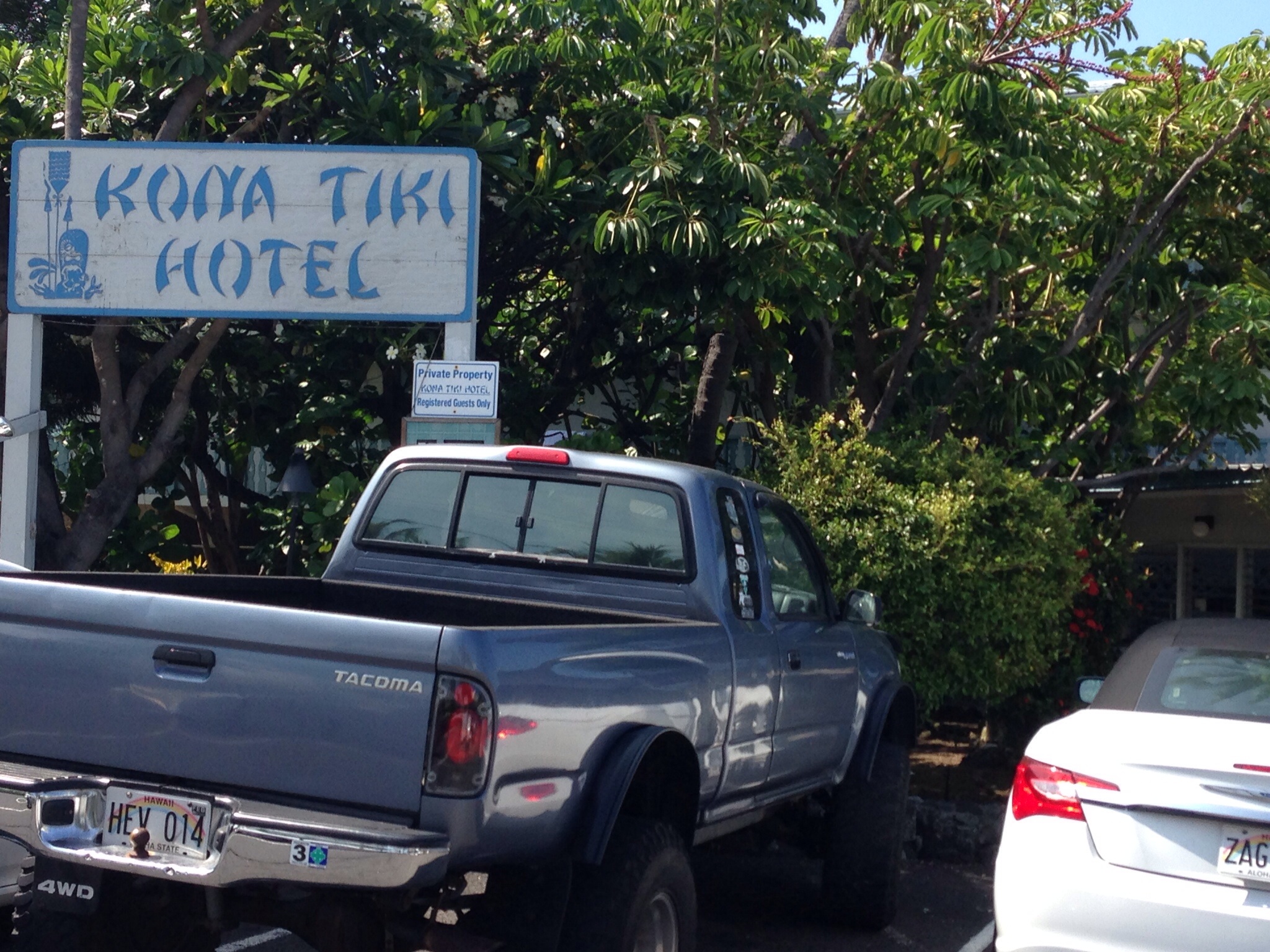
View from our porch at the former Rockefeller estate in WaimeaKona Tiki Hotel, Kona
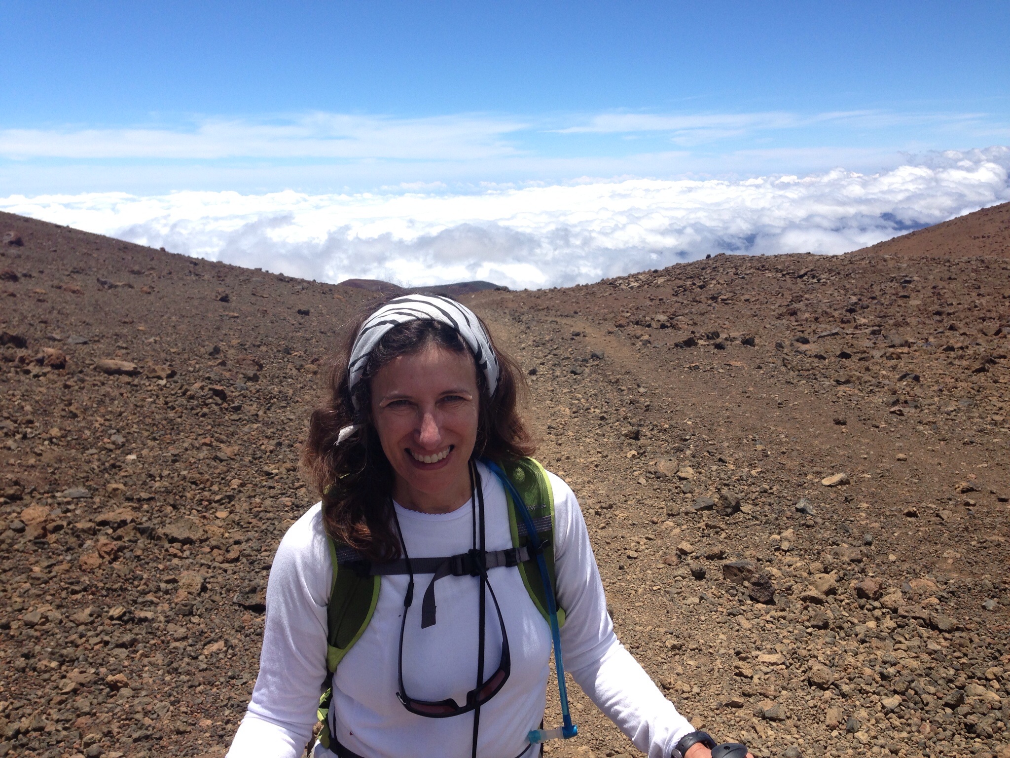
The next day we awoke early to an hour or so drive along Hawaii’s oh so well maintained road to Mauna Kea. We parked at the ranger station at approximately 9200 feet elevation about 7 am and signed in. Little did we know that only two other hikers would sign in that entire day.
After the first bit of the hike – some fields, some green – we might as well have been hiking on Mars, or at least my idea of Mars. Black and red lava rocks, occasional prehistoric (maybe) cairns of rocks, and very little that resembled vegetation. The temperature varied between extremely hot and downright chilly during the few moments when the sun went behind the clouds.
One of the more peculiar features was that even though the road up would occasionally pop into view I felt more isolated on Mauna Kea than anywhere on Kilimanjaro, much less Mt Elbrus. The trail wasn’t always well marked and it was not hard to imagine being found years later after suffering an unhappy death from dehydration.
Making the trip even more interesting was the rapid elevation gain – literally sea level to almost 14,000 (13,796) feet – in about six hours. I usually don’t feel anything at 14,000 feet but I definitely started to have a headache near the top, combined with some dehydration.
As you approach the top, all of a sudden you start to see the telescopes. Peering up over the orange landscape and the gradual volcanic cones, it is as though you have inadvertently wandered off course and ended up on Another Planet. There’s also a set of porta-potties, a nice reminder of earth, however. I kept thinking of the novel Cloud Atlas – one part of which involves an adventure at the top of Mauna Kea by the observatories – “you’re crazy. There ain’t nothing on Mauna Kea but Old Georgie and his temples hid in ‘closure walls. He’ll not let you in unless you’re ‘ready died an’ your soul is his.”
Telescopes on Mauna Kea
There we encountered the only two other hikers we saw the entire day. But the last mile or so up requires walking along the side of the road, with cars whipping past you. Resentment toward the motorists kicks in – they hardly deserved the summit! The summit itself involves a trek down one indentation and then up to the peak – flat on top – with various offerings to the Hawaian volcanic gods placed on a small stone altar. The wind is much more intense and as we had no idea how long it would take to go down we didn’t stay long.
It turned out our fears were unfounded. While we hiked to the summit in under 5 hours we got down in just over two – scree skiing most of the way. The sun went in and we had a good 45 minutes of walking through clouds – very refreshing after the blazing sun of earlier.
Clouds on the descent
Once at the ranger station, we were met by bus loads of tourists there for night sky observation tours. While it wasn’t exactly a return to a space station, our seven hours of hiking felt like light years.
The Swamp – not sure how this translates to climbing granite cliffs –
I’ve been in the saddle the last couple of weeks – that is, the place between summits. Actually, that’s not true at all. Instead I’ve been climbing one of those sudden summits you encounter in your professional world – and, happily – have scaled it.
Which brings me to the point – there may be summits in all parts of our lives – but none quite the same as the true top of a mountain. Once you’ve reached the top of a mountain you have it forever. No one ever, ever, ever can take it away.
But even on mountains there are lots of different summits. When we hiked Kilimanjaro surviving seven straight nights of sleeping in a tent was its own summit. It is remarkable how you can put something down – your headlamp, for example – only for it to disappear 30 seconds later. And that’s not to mention getting up every day knowing you would hike, and hike and then hike some more. Elbrus was different. It was 14 hours of sheer determination and physical exertion. For me it was saying no to those snowmobiles at the very end who were just dying for us to pay them a bunch of money to save the final two hours of hiking. It was the counting in fours the last hour just so I knew I could continue to put one foot in front of the other.
But now we are thinking of a really different sort of summit – climbing the Grand Teton, the highest mountain in the Teton range. It’s only 13,775 feet but it involves rock climbing, not just bouldering, and is a class 5.4 – something we have never done before. And what most don’t know is that I historically have a pretty good case of fear of sheer vertical drops. In 1985 I froze walking down the Eiffel Tower and it was good long time before I made it to the bottom. So, if we really do decide to do this four day, three night trip it will be a summit of a type I haven’t reached before.
The more You Tube videos I watch the more intriguing it seems. There’s a practice rock climbing wall near us. Maybe it’s the next stop?
One reason I am enamored with altitude may well stem back to airplane trips taken early, early in my life. These started in the 1960s, when my mother, sometimes accompanied by my father but frequently on her own, would take my brother and me to England to visit our grandparents. In my earliest memory, I was four and my brother was two. I don’t remember much of that trip but from then on, I have much firmer recall. By the time we were six and four, my brother and I had realized that the coloring books dispensed by the flight attendants – then called stewardesses – made fine swords and the little Pan Am wing pins were potentially even better weapons to use against each other.
But, fast forwarding to the 1970s, my interest in how to torment my brother on long airplane trips had ceased to be my major in-flight activity. In those days you had to pay for headphones, which would enable you to listen to the single movie being projected on a drop down screen or the few “radio” channels assembled by the airline. This was an expenditure my parents saw as completely needless. Undaunted, however, my brother and I soon learned that if you pulled your armrest up to your ear you could actually hear the movie and the music – albeit risking a crick in your neck and not a very good sight line for the movie.
That particular flight – we must have been returning to the United States because it was day – the sun shone through the plane window, there were a few layers of fluffy clouds below us, below all that the Atlantic Ocean stretched as long and blue as my eyes could see, and the Steve Miller Band’s “Fly Like An Eagle” was playing through my armrest. I must have been somewhere in my teens. There above the clouds I felt safe – yet utterly free, unleashed of whatever cares pulled at me from far below. I was conscious, even then, that I would always remember that moment.
And to this day, when I board an airplane – despite the waits on the Tarmac, the ever narrowing plane seats, and the ever broadening list of things you have to pay for – I still hope that once above the clouds I’ll recapture that same feeling of serenity. Very occasionally I still do. But maybe that’s really why I climb mountains. Looking down from the summit at the rolling surf of clouds below gives a lightness to your soul that rarely happens anywhere else.